Area Overview for PE12 7FL
Photos of PE12 7FL
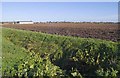
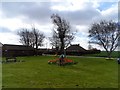
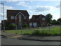
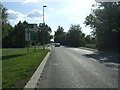
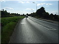
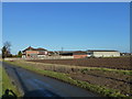
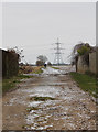
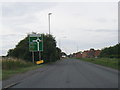
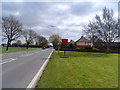
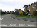
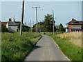
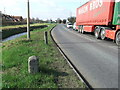
14 photos from this area
Area Information
Key information about the PE12 7FL including its size, population, and administrative classification.
- Area Type
- Postcode
- Area Size
- 1.2 hectares
- Population
- 1816
- Population Density
- 1426 people/km²
House Prices in PE12 7FL
25
Properties
£283,763
Average Sold Price
£242,000
Lowest Price
£368,750
Highest Price
Showing 25 properties
| Address | Type | Beds | Baths | Last Sale Price | Last Sale Date | |
|---|---|---|---|---|---|---|
| 19 Redwood Close, Holbeach, Spalding, PE12 7FL | Detached | 3 | 2 | £305,000 | Jul 2025 | |
| 4 Redwood Close, Holbeach, Spalding, PE12 7FL | Detached | 3 | 1 | £242,000 | Mar 2024 | |
| 26 Redwood Close, Holbeach, Spalding, PE12 7FL | Detached | 3 | 2 | £338,000 | May 2023 | |
| 17 Redwood Close, Holbeach, Spalding, PE12 7FL | house | - | - | £260,000 | Jul 2022 | |
| 28 Redwood Close, Holbeach, Spalding, PE12 7FL | house | - | - | £289,980 | Jun 2022 | |
| 14 Redwood Close, Holbeach, Spalding, PE12 7FL | house | - | - | £300,000 | May 2022 | |
| 24 Redwood Close, Holbeach, Spalding, PE12 7FL | house | - | - | £325,000 | May 2022 | |
| 13 Redwood Close, Holbeach, Spalding, PE12 7FL | house | - | - | £260,000 | Apr 2022 | |
| 5 Redwood Close, Holbeach, Spalding, PE12 7FL | house | - | - | £285,000 | Apr 2022 | |
| 7 Redwood Close, Holbeach, Spalding, PE12 7FL | house | - | - | £325,000 | Apr 2022 |
Page 1 of 3
Energy Efficiency in PE12 7FL
Amenities
Schools
| Rank | School | Type | Entry gender | Ages |
|---|
Explore more schools in this area
Go to Schools tabDemographics
Household Size
Two person
most common
Accommodation Type
Houses
most common
Tenure
86
majority
Ethnic Group
White
most common
Religion
N/A
most common
Household Composition
N/A
most common
Age
47
median
Adults (30-64 years)
most common
Household Deprivation
N/A
with no deprivation
NS-SEC
24
in Lower managerial occupations
Explore more demographic insights in this area
Go to Demographics tabPlanning
Planning Constraints
- Flood RiskPremium
- Ramsar Wetland SitesPremium
- Area of Outstanding Natural BeautyPremium
- Protected Nature ReservePremium
- Protected WoodlandPremium