Area Overview for PE12 6LF
Photos of PE12 6LF


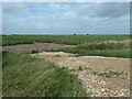
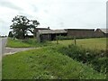
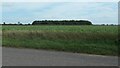
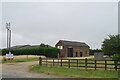
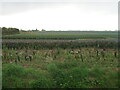
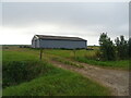
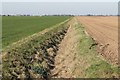
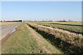
24 photos from this area
Area Information
Key information about the PE12 6LF including its size, population, and administrative classification.
- Area Type
- Postcode
- Area Size
- 2.9 km²
- Population
- 1757
- Population Density
- 67 people/km²
House Prices in PE12 6LF
34
Properties
£243,960
Average Sold Price
£65,500
Lowest Price
£415,000
Highest Price
Showing 34 properties
| Address | Type | Beds | Baths | Last Sale Price | Last Sale Date | |
|---|---|---|---|---|---|---|
| Cranberry House, Common Road, Moulton Seas End, Spalding, PE12 6LF | Detached | 5 | 3 | £405,000 | Nov 2024 | |
| Ashton View, Common Road, Moulton Seas End, Spalding, PE12 6LF | house | - | - | £240,000 | Dec 2023 | |
| Hamilton House, Common Road, Moulton Seas End, Spalding, PE12 6LF | house | - | - | £261,900 | Nov 2021 | |
| Velham View, Common Road, Moulton Seas End, Spalding, PE12 6LF | house | - | - | £195,000 | Oct 2021 | |
| Dolton View, Common Road, Moulton Seas End, Spalding, PE12 6LF | house | - | - | £195,000 | Oct 2021 | |
| Pilgrim View, Common Road, Moulton Seas End, Spalding, PE12 6LF | house | - | - | £195,000 | Sep 2021 | |
| Warren Lodge, Common Road, Moulton Seas End, Spalding, PE12 6LF | house | - | - | £415,000 | Nov 2020 | |
| The Sycamores, Common Road, Moulton Seas End, Spalding, PE12 6LF | house | - | - | £250,000 | Feb 2018 | |
| Carrington House, 22 Common Road, Moulton Seas End, Spalding, PE12 6LF | house | - | - | £288,000 | Dec 2017 | |
| Bergas, Common Road, Moulton Seas End, Spalding, PE12 6LF | Bungalow | 2 | - | £238,000 | Feb 2017 |
Page 1 of 4
Energy Efficiency in PE12 6LF
Amenities
Schools
| Rank | School | Type | Entry gender | Ages |
|---|
Explore more schools in this area
Go to Schools tabDemographics
Household Size
Two person
most common
Accommodation Type
Houses
most common
Tenure
83
majority
Ethnic Group
White
most common
Religion
N/A
most common
Household Composition
N/A
most common
Age
47
median
Adults (30-64 years)
most common
Household Deprivation
N/A
with no deprivation
NS-SEC
31
in Lower managerial occupations
Explore more demographic insights in this area
Go to Demographics tabPlanning
Planning Constraints
- Flood RiskPremium
- Ramsar Wetland SitesPremium
- Area of Outstanding Natural BeautyPremium
- Protected Nature ReservePremium
- Protected WoodlandPremium