Area Overview for PE11 4XR
Photos of PE11 4XR
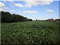
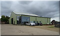
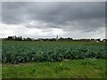
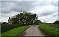
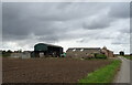
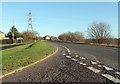
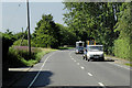
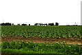
15 photos from this area
Area Information
Key information about the PE11 4XR including its size, population, and administrative classification.
- Area Type
- Postcode
- Area Size
- 37.7 hectares
- Population
- 1778
- Population Density
- 85 people/km²
House Prices in PE11 4XR
16
Properties
£112,955
Average Sold Price
£18,000
Lowest Price
£219,000
Highest Price
Showing 16 properties
| Address | Type | Beds | Baths | Last Sale Price | Last Sale Date | |
|---|---|---|---|---|---|---|
| 107 Bicker Road, Donington, Spalding, PE11 4XR | Semi-detached | 3 | 1 | £96,000 | Jun 2025 | |
| Fern Cottage, 73 Bicker Road, Donington, Spalding, PE11 4XR | Bungalow | 3 | - | £219,000 | Dec 2020 | |
| 105 Bicker Road, Donington, Spalding, PE11 4XR | house | - | - | £118,000 | Nov 2019 | |
| 102 Bicker Road, Donington, Spalding, PE11 4XR | Semi-detached | 3 | 2 | £110,000 | Oct 2018 | |
| 108 Bicker Road, Donington, Spalding, PE11 4XR | house | - | - | £142,500 | Jul 2017 | |
| 113 Bicker Road, Donington, Spalding, PE11 4XR | Semi-detached | 3 | 1 | £113,000 | Oct 2015 | |
| 111 Bicker Road, Donington, Spalding, PE11 4XR | house | - | - | £105,000 | Dec 2013 | |
| 100 Bicker Road, Donington, Spalding, PE11 4XR | house | 2 | - | £92,000 | Nov 2010 | |
| 112 Bicker Road, Donington, Spalding, PE11 4XR | Detached | - | - | £151,000 | Jun 2007 | |
| 106 Bicker Road, Donington, Spalding, PE11 4XR | Semi-detached | - | - | £78,000 | May 2004 |
Page 1 of 2
Energy Efficiency in PE11 4XR
Amenities
Schools
| Rank | School | Type | Entry gender | Ages |
|---|
Explore more schools in this area
Go to Schools tabDemographics
Household Size
Two person
most common
Accommodation Type
Houses
most common
Tenure
81
majority
Ethnic Group
White
most common
Religion
N/A
most common
Household Composition
N/A
most common
Age
47
median
Adults (30-64 years)
most common
Household Deprivation
N/A
with no deprivation
NS-SEC
26
in Lower managerial occupations
Explore more demographic insights in this area
Go to Demographics tabPlanning
Planning Constraints
- Flood RiskPremium
- Ramsar Wetland SitesPremium
- Area of Outstanding Natural BeautyPremium
- Protected Nature ReservePremium
- Protected WoodlandPremium