Area Overview for PE11 3RA
Photos of PE11 3RA
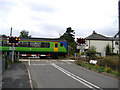
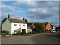
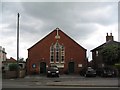

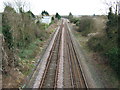
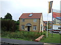
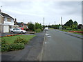
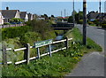
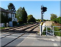

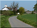
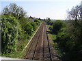
18 photos from this area
Area Information
Key information about the PE11 3RA including its size, population, and administrative classification.
- Area Type
- Postcode
- Area Size
- 2.4 hectares
- Population
- 2000
- Population Density
- 508 people/km²
House Prices in PE11 3RA
35
Properties
£204,179
Average Sold Price
£60,504
Lowest Price
£440,000
Highest Price
Showing 35 properties
| Address | Type | Beds | Baths | Last Sale Price | Last Sale Date | |
|---|---|---|---|---|---|---|
| 97 Knight Street, Pinchbeck, Spalding, PE11 3RA | Detached | 3 | 1 | £369,000 | Feb 2024 | |
| 23 Knight Street, Pinchbeck, Spalding, PE11 3RA | Retail | 4 | 2 | £290,000 | Jan 2023 | |
| 61 Knight Street, Pinchbeck, Spalding, PE11 3RA | Retail | 5 | 2 | £265,000 | Jul 2022 | |
| 33 Knight Street, Pinchbeck, Spalding, PE11 3RA | Flat | - | - | £116,000 | Jul 2021 | |
| 25 Knight Street, Pinchbeck, Spalding, PE11 3RA | Detached | 5 | 2 | £250,000 | Apr 2021 | |
| Monograms House, 33A Knight Street, Pinchbeck, Spalding, PE11 3RA | Detached | 3 | 2 | £190,000 | Jan 2021 | |
| 27 Knight Street, Pinchbeck, Spalding, PE11 3RA | Flat | 3 | - | £70,000 | Aug 2019 | |
| 29 Knight Street, Pinchbeck, Spalding, PE11 3RA | Flat | - | - | £110,000 | Nov 2018 | |
| Brookside House, 43 Knight Street, Pinchbeck, Spalding, PE11 3RA | Detached | 5 | - | £440,000 | Dec 2017 | |
| 13A Knight Street, Pinchbeck, Spalding, PE11 3RA | Detached | - | - | £370,000 | Jun 2015 |
Page 1 of 4
Energy Efficiency in PE11 3RA
Amenities
Schools
| Rank | School | Type | Entry gender | Ages |
|---|
Explore more schools in this area
Go to Schools tabDemographics
Household Size
Two person
most common
Accommodation Type
Houses
most common
Tenure
66
majority
Ethnic Group
White
most common
Religion
N/A
most common
Household Composition
N/A
most common
Age
47
median
Adults (30-64 years)
most common
Household Deprivation
N/A
with no deprivation
NS-SEC
22
in Lower managerial occupations
Explore more demographic insights in this area
Go to Demographics tabPlanning
Planning Constraints
- Flood RiskPremium
- Ramsar Wetland SitesPremium
- Area of Outstanding Natural BeautyPremium
- Protected Nature ReservePremium
- Protected WoodlandPremium