Area Overview for PE10 9NE
Photos of PE10 9NE
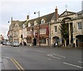
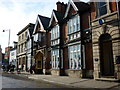
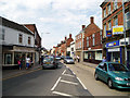
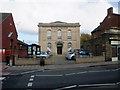
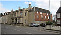
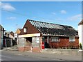
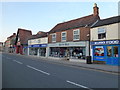
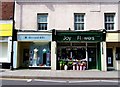
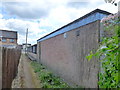
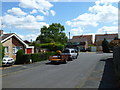
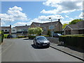
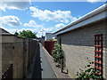
100 photos from this area
Area Information
Key information about the PE10 9NE including its size, population, and administrative classification.
- Area Type
- Postcode
- Area Size
- 8683 m²
- Population
- 1439
- Population Density
- 771 people/km²
House Prices in PE10 9NE
15
Properties
£263,959
Average Sold Price
£128,000
Lowest Price
£500,000
Highest Price
Showing 15 properties
| Address | Type | Beds | Baths | Last Sale Price | Last Sale Date | |
|---|---|---|---|---|---|---|
| 38 West Street, Bourne, PE10 9NE | Terraced | 2 | 1 | £130,000 | Apr 2025 | |
| 28 West Street, Bourne, PE10 9NE | Detached | 5 | 3 | £500,000 | Jan 2023 | |
| Tidal House, 32 West Street, Bourne, PE10 9NE | Semi-detached | 5 | 1 | £335,000 | Sep 2017 | |
| 32B West Street, Bourne, PE10 9NE | Bungalow | 3 | 1 | £128,000 | Jan 2017 | |
| 34 West Street, Bourne, PE10 9NE | Terraced | 3 | 1 | £172,500 | Jul 2014 | |
| 16 West Street, Bourne, PE10 9NE | house | 4 | - | £318,252 | Oct 2004 | |
| Flat 2, Commerce House, 18 West Street, Bourne, PE10 9NE | Flat | - | - | - | - | |
| Coral Racing Ltd, 2 West Street, Bourne, PE10 9NE | retail_financial | - | - | - | - | |
| One Stop Eye Care Centre, 2 West Street, Bourne, PE10 9NE | retail_financial | - | - | - | - | |
| 32A West Street, Bourne, PE10 9NE | Bungalow | - | - | - | - |
Page 1 of 2
Energy Efficiency in PE10 9NE
Amenities
Schools
| Rank | School | Type | Entry gender | Ages |
|---|
Explore more schools in this area
Go to Schools tabDemographics
Household Size
Family (3-5 people)
most common
Accommodation Type
Houses
most common
Tenure
73
majority
Ethnic Group
White
most common
Religion
N/A
most common
Household Composition
N/A
most common
Age
47
median
Adults (30-64 years)
most common
Household Deprivation
N/A
with no deprivation
NS-SEC
43
in Lower managerial occupations
Explore more demographic insights in this area
Go to Demographics tabPlanning
Planning Constraints
- Flood RiskPremium
- Ramsar Wetland SitesPremium
- Area of Outstanding Natural BeautyPremium
- Protected Nature ReservePremium
- Protected WoodlandPremium