Area Overview for PE10 0SU
Photos of PE10 0SU
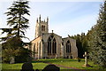
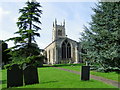
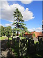
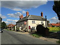
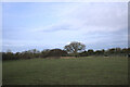
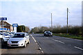
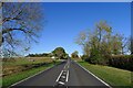
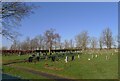
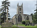
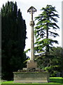
43 photos from this area
Area Information
Key information about the PE10 0SU including its size, population, and administrative classification.
- Area Type
- Postcode
- Area Size
- 4.3 hectares
- Population
- 2242
- Population Density
- 30 people/km²
House Prices in PE10 0SU
32
Properties
£200,095
Average Sold Price
£125,000
Lowest Price
£290,000
Highest Price
Showing 32 properties
| Address | Type | Beds | Baths | Last Sale Price | Last Sale Date | |
|---|---|---|---|---|---|---|
| 31 Middle Street, Rippingale, PE10 0SU | Semi-detached | 3 | 2 | £213,000 | Sep 2025 | |
| Brook Cottage, 22 Middle Street, Rippingale, PE10 0SU | Detached | 4 | 1 | £290,000 | Apr 2024 | |
| 29 Middle Street, Rippingale, PE10 0SU | Terraced | 3 | 1 | £190,000 | Mar 2023 | |
| 25 Middle Street, Rippingale, PE10 0SU | house | - | - | £125,000 | Apr 2022 | |
| 27 Middle Street, Rippingale, PE10 0SU | Terraced | 3 | 1 | £145,000 | Sep 2021 | |
| 16 Middle Street, Rippingale, PE10 0SU | house | - | - | £282,500 | Jan 2021 | |
| 1A Middle Street, Rippingale, PE10 0SU | Detached | 3 | - | £230,000 | Aug 2019 | |
| The Coach House, Middle Street, Rippingale, PE10 0SU | Bungalow | - | - | £230,000 | Sep 2006 | |
| 14 Middle Street, Rippingale, PE10 0SU | Detached | - | - | £151,950 | Oct 2003 | |
| 12 Middle Street, Rippingale, PE10 0SU | Detached | - | - | £143,500 | Jul 2003 |
Page 1 of 4
Energy Efficiency in PE10 0SU
Amenities
Schools
| Rank | School | Type | Entry gender | Ages |
|---|
Explore more schools in this area
Go to Schools tabDemographics
Household Size
Two person
most common
Accommodation Type
Houses
most common
Tenure
77
majority
Ethnic Group
White
most common
Religion
N/A
most common
Household Composition
N/A
most common
Age
47
median
Adults (30-64 years)
most common
Household Deprivation
N/A
with no deprivation
NS-SEC
37
in Lower managerial occupations
Explore more demographic insights in this area
Go to Demographics tabPlanning
Planning Constraints
- Flood RiskPremium
- Ramsar Wetland SitesPremium
- Area of Outstanding Natural BeautyPremium
- Protected Nature ReservePremium
- Protected WoodlandPremium