Area Overview for OX17 3PS
Photos of OX17 3PS

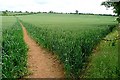
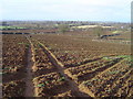
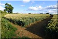
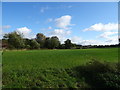
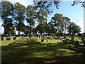
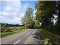
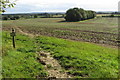

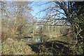
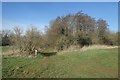

19 photos from this area
Area Information
Key information about the OX17 3PS including its size, population, and administrative classification.
- Area Type
- Postcode
- Area Size
- 47.6 hectares
- Population
- 2307
- Population Density
- 139 people/km²
House Prices in OX17 3PS
14
Properties
£206,167
Average Sold Price
£126,000
Lowest Price
£357,500
Highest Price
Showing 14 properties
| Address | Type | Beds | Baths | Last Sale Price | Last Sale Date | |
|---|---|---|---|---|---|---|
| 63 Astrop Road, Kings Sutton, OX17 3PS | Detached | - | - | £357,500 | Aug 2000 | |
| Harmary, 55 Astrop Road, Kings Sutton, OX17 3PS | Bungalow | 5 | 2 | £135,000 | Mar 1998 | |
| 53 Astrop Road, Kings Sutton, OX17 3PS | Detached | 5 | 2 | £126,000 | Jun 1996 | |
| Barn Cottage, College Farm, Astrop Road, Kings Sutton, OX17 3PS | Semi-detached | 5 | 3 | - | - | |
| Spring Cottage, 61-63 Astrop Road, Kings Sutton, OX17 3PS | Detached | - | - | - | - | |
| College Farm, Astrop Road, Kings Sutton, OX17 3PS | Detached | - | - | - | - | |
| 57 Astrop Road, Kings Sutton, OX17 3PS | Detached | - | - | - | - | |
| Greycourt, Astrop Road, Kings Sutton, OX17 3PS | Detached | - | - | - | - | |
| Tennis 126M From 63 Astrop Road 74M From Unnamed Road, Astrop Road, Kings Sutton, OX17 3PS | Leisure | - | - | - | - | |
| Tennis 56M From College Farm, Astrop Road 81M From Unnamed Road, Bridleway As 2 Astrop Road Adjacent Barn Cottage S To Junction With As 1, Kings Sutton, OX17 3PS | Leisure | - | - | - | - |
Page 1 of 2
Energy Efficiency in OX17 3PS
Amenities
Schools
| Rank | School | Type | Entry gender | Ages |
|---|
Explore more schools in this area
Go to Schools tabDemographics
Household Size
Two person
most common
Accommodation Type
Houses
most common
Tenure
69
majority
Ethnic Group
White
most common
Religion
N/A
most common
Household Composition
N/A
most common
Age
47
median
Adults (30-64 years)
most common
Household Deprivation
N/A
with no deprivation
NS-SEC
40
in Lower managerial occupations
Explore more demographic insights in this area
Go to Demographics tabPlanning
Planning Constraints
- Flood RiskPremium
- Ramsar Wetland SitesPremium
- Area of Outstanding Natural BeautyPremium
- Protected Nature ReservePremium
- Protected WoodlandPremium