Area Overview for OX17 2DB
Photos of OX17 2DB
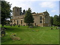


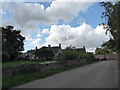
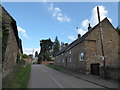
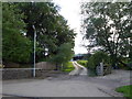
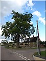
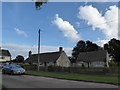
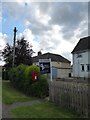
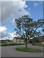
31 photos from this area
Area Information
Key information about the OX17 2DB including its size, population, and administrative classification.
- Area Type
- Postcode
- Area Size
- 50.7 hectares
- Population
- 1914
- Population Density
- 52 people/km²
House Prices in OX17 2DB
38
Properties
£344,126
Average Sold Price
£133,500
Lowest Price
£610,000
Highest Price
Showing 38 properties
| Address | Type | Beds | Baths | Last Sale Price | Last Sale Date | |
|---|---|---|---|---|---|---|
| The Rectory, The Green, Marston St Lawrence, OX17 2DB | Bungalow | 4 | 2 | £610,000 | Jul 2025 | |
| 17, Merestone, The Green, Marston St Lawrence, OX17 2DB | house | 3 | 1 | £430,000 | Jun 2022 | |
| 14, Merestone, The Green, Marston St Lawrence, OX17 2DB | Retail | 3 | 1 | £290,000 | Apr 2022 | |
| 16, Merestone, The Green, Marston St Lawrence, OX17 2DB | Semi-detached | 3 | 1 | £275,000 | Mar 2018 | |
| 8, Merestone, The Green, Marston St Lawrence, OX17 2DB | Semi-detached | - | - | £407,500 | Dec 2016 | |
| 7, Merestone, The Green, Marston St Lawrence, OX17 2DB | house | - | - | £326,888 | Oct 2016 | |
| Elm Cottage, Road To Lone Cottage, Marston St Lawrence, OX17 2DB | house | 3 | 2 | £385,000 | Jun 2015 | |
| Comeragh Hill, The Green, Marston St Lawrence, OX17 2DB | Detached | - | - | £335,000 | Jun 2007 | |
| Three Gables, The Green, Marston St Lawrence, OX17 2DB | Detached | - | - | £447,500 | Aug 2005 | |
| 9, Merestone, The Green, Marston St Lawrence, OX17 2DB | Semi-detached | - | - | £145,000 | Jun 2002 |
Page 1 of 4
Energy Efficiency in OX17 2DB
Amenities
Schools
| Rank | School | Type | Entry gender | Ages |
|---|
Explore more schools in this area
Go to Schools tabDemographics
Household Size
Two person
most common
Accommodation Type
Houses
most common
Tenure
71
majority
Ethnic Group
White
most common
Religion
N/A
most common
Household Composition
N/A
most common
Age
47
median
Adults (30-64 years)
most common
Household Deprivation
N/A
with no deprivation
NS-SEC
40
in Lower managerial occupations
Explore more demographic insights in this area
Go to Demographics tabPlanning
Planning Constraints
- Flood RiskPremium
- Ramsar Wetland SitesPremium
- Area of Outstanding Natural BeautyPremium
- Protected Nature ReservePremium
- Protected WoodlandPremium