Area Overview for Owston and Newbold
Photos of Owston and Newbold

Area Information
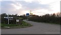
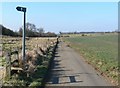
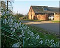
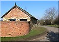
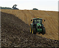
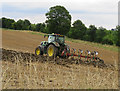
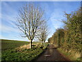
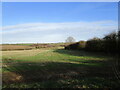
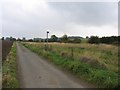
Owston and Newbold exists as a civil parish covering 12.4 km² of land in England. You will find this area offers a specific type of rural living experience for those seeking a quieter pace compared to large urban centres. The setting is defined by its size and designation, providing a distinct alternative to more densely populated neighbourhoods. Residents here enjoy a space where the landscape stretches further, offering a different backdrop to daily life than found in city communities. The parish structure ensures local governance focuses on the specific needs of this smaller population group rather than a broader metropolitan area. Living in Owston and Newbold means accessing a defined geographical boundary that separates you from the immediate hustle of larger towns. This separation creates a buffer that appeals to people looking to distance themselves from urban noise while remaining within the English countryside framework. The area represents a settled community where the boundaries are clear and the character is defined by its rural status. You can expect a sense of isolation that some buyers find refreshing, though it comes with practical considerations regarding distance to larger commercial hubs. The parish provides a stable environment for families and retirees who prioritise space and tranquility in their chosen location. Owston and Newbold remains a rural parish where the focus stays on the land and the immediate local surroundings.
- Area Type
- Parish
- Area Size
- 12.4 km²
- Population
- Not available
- Population Density
- Not available
Demographics
The community in Owston and Newbold presents a very specific age profile that significantly influences the local shops and services. The median age reaches 70, indicating that the population is dominated by older residents rather than young families or students. When looking at homes in Owston and Newbold, you must expect an environment shaped by retirees and those in later life stages. The most common age group falls under the broad category of total age statistics, reflecting this older demographic concentration. This age shift means local demand focuses on healthcare accessibility and quiet spaces rather than childcare facilities or youth entertainment. Home ownership stands at 81%, showing that the vast majority of people living here own their property outright or have a significant stake in it. This high rate of ownership suggests a wealthy, settled community where people are rooted in the locality for the long term. The accommodation type data confirms that the stock is held primarily by owners rather than landlords. Diversity data is listed as total for the predominant ethnic group, meaning the Census information aggregates these figures without splitting them out in the primary summary. You should expect a homogeneous community where social interactions happen among a similar age cohort and socioeconomic background. The household composition and religion data are also recorded at the total level, indicating that official surveys group these stats together for this specific parish. Living in Owston and Newbold involves engaging with a mature population that moves with a deliberate pace and values stability over rapid change.
Household Size
Accommodation Type
Tenure
Ethnic Group
Religion
Household Composition
Age
Household Deprivation
NS-SEC
Explore more demographic insights in this area
Go to Demographics tabPlanning
Planning Constraints
- Flood RiskPremium
- Ramsar Wetland SitesPremium
- Area of Outstanding Natural BeautyPremium
- Protected Nature ReservePremium
- Protected WoodlandPremium