Area Overview for Oadby Grange Ward
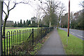
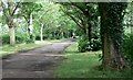
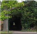
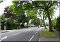
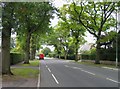
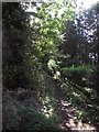
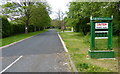
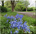
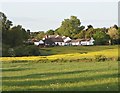
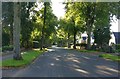
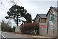
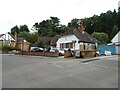
Photos of Oadby Grange Ward
Area Information
Oadby Grange Ward is a compact district council ward covering 2.9 km² and sits south-east of Leicester city centre within the Oadby and Wigston Borough Council area. This specific location at 52.6087°N, -1.0804°W forms part of the broader urban Leicester area, offering density without the isolation of a remote village. You will find this area defined by its municipal structure as a DIW, which shapes local governance and community administration. The ward provides a settled environment where daily life revolves around established neighbourhood routines rather than rapid development changes. Living in Oadby Grange Ward means residing in a well-defined unitary ward that functions as a distinct administrative zone. The area largely comprises the broader Oadby settlement, which you should recognise when searching for homes in this specific postcode boundary. Your daily commute will likely focus on connections to the wider East Midlands region, supported by the ward's strategic location. The character here is practical and residential, avoiding the hyperbole often found in property descriptions. Instead, you get a clear understanding of the physical footprint and local boundaries that define your future address. The ward status ensures consistent council services and planning oversight directly relevant to properties within these precise coordinates.
- Area Type
- District Borough Unitary Ward
- Area Size
- 2.9 km²
- Population
- Not available
- Population Density
- Not available
Demographics
The community in Oadby Grange Ward is dominated by a senior population, with a median age of 70 years. This high figure indicates a demographic skewed towards retirees or those living in permanent retirement. The most common age range covers the total population, reflecting the concentration of older residents throughout the ward. Almost 80% of households in Oadby Grange Ward are owned outright or with a mortgage, suggesting a stable community where residents have long-term stakes in their properties. This level of home ownership creates a neighbourhood where families often settle down rather than frequently relocating. You can expect a settlement where residents are deeply embedded in local life, evidenced by the significant home ownership rate of eighty percent. The age profile suggests that homes in Oadby Grange Ward are frequently suited to those in later life stages, potentially featuring adaptations or designs that cater to specific needs. The household composition data reflects a total survey, showing that the area serves a singular, mature demographic without significant variation from typical ward statistics. Your neighbours are likely to share similar life stages, fostering a quiet and predictable residential atmosphere. The lack of young family clusters or transient populations contributes to this singular demographic identity.
Household Size
Accommodation Type
Tenure
Ethnic Group
Religion
Household Composition
Age
Household Deprivation
NS-SEC
Explore more demographic insights in this area
Go to Demographics tabPlanning
Planning Constraints
- Flood RiskPremium
- Ramsar Wetland SitesPremium
- Area of Outstanding Natural BeautyPremium
- Protected Nature ReservePremium
- Protected WoodlandPremium
- Crime RiskPremium