Area Overview for North Holme Ward
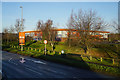
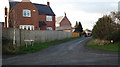
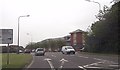
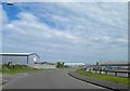
Photos of North Holme Ward
Area Information
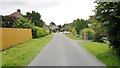
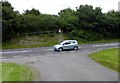
Living in North Holme Ward offers a defined residential experience within the East Midlands. This specific district council ward sits within East Lindsey District Council, occupying a compact 3.3 km² footprint. You can find its exact location at approximately 53.378°N, 0.013°W, marking a precise slice of land in the broader English landscape. The area functions as a distinct administrative unit where daily life revolves around local ward boundaries. Prospective buyers looking at homes in this ward are entering a defined space with clear geographical limits. The neighbourhood operates under specific local governance structures typical of urban wards in England. Residents navigate a community shaped by its concentration as a ward rather than spreading across a vast county expanse. Understanding the exact size helps you gauge the scale of local services and neighbour density. You are essentially looking at a focused district rather than a sprawling rural expanse. The ward classification gives it a particular identity within the region. When you consider this location, you are factoring in its administrative status alongside its physical dimensions. The area represents a specific pocket of Lincolnshire with its own unique administrative profile.
- Area Type
- District Borough Unitary Ward
- Area Size
- 3.3 km²
- Population
- Not available
- Population Density
- Not available
Demographics
The community in North Holme Ward displays a very distinct age profile dominated by senior residents. The median age for people living in this ward is 70 years, indicating a population largely composed of older adults. This demographic skew suggests a neighbourhood where retirement or older age groups form the majority of residents. You will find that households here are likely to have fewer young children compared to other parts of the county. The most common age range statistic points to this demographic dominance being a defining feature of local life. Home ownership stands at 58%, meaning just over half of the households own their property outright or with a mortgage. Consequently, rental housing or renting from landlords makes up the remaining minority of the market. The area does not show a split between owner-occupiers and private renters that is typical of young family zones. Household composition data supports the view that families represent a smaller fraction of the total population. You should expect a quieter social atmosphere driven by older residents rather than active young families playing in the streets. The demographic makeup directly influences the types of amenities that remain active in the neighbourhood. Living in North Holme Ward means joining a community where aging residents are the primary demographic group.
Household Size
Accommodation Type
Tenure
Ethnic Group
Religion
Household Composition
Age
Household Deprivation
NS-SEC
Explore more demographic insights in this area
Go to Demographics tabPlanning
Planning Constraints
- Flood RiskPremium
- Ramsar Wetland SitesPremium
- Protected Nature ReservePremium
- Protected WoodlandPremium
- Crime RiskPremium