Area Overview for NN8 1SS
Photos of NN8 1SS
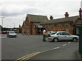
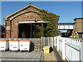
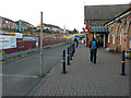
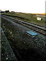
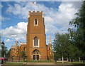
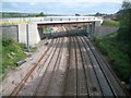
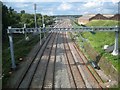
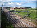
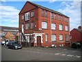
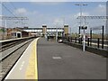
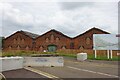
34 photos from this area
Area Information
Key information about the NN8 1SS including its size, population, and administrative classification.
- Area Type
- Postcode
- Area Size
- 9470 m²
- Population
- 2310
- Population Density
- 3308 people/km²
House Prices in NN8 1SS
20
Properties
£225,844
Average Sold Price
£160,995
Lowest Price
£340,000
Highest Price
Showing 20 properties
| Address | Type | Beds | Baths | Last Sale Price | Last Sale Date | |
|---|---|---|---|---|---|---|
| 50 Neptune Road, Wellingborough, NN8 1SS | Detached | 4 | 2 | £340,000 | Jun 2024 | |
| 70 Neptune Road, Wellingborough, NN8 1SS | Terraced | 2 | 1 | £177,500 | Mar 2024 | |
| 74 Neptune Road, Wellingborough, NN8 1SS | Terraced | 2 | 2 | £170,000 | Sep 2023 | |
| 54 Neptune Road, Wellingborough, NN8 1SS | Detached | 3 | 2 | £325,000 | Aug 2023 | |
| 64 Neptune Road, Wellingborough, NN8 1SS | Terraced | 2 | 2 | £187,000 | Dec 2022 | |
| 58 Neptune Road, Wellingborough, NN8 1SS | Detached | 3 | 2 | £299,950 | Feb 2022 | |
| 78 Neptune Road, Wellingborough, NN8 1SS | house | 2 | 1 | £161,995 | Dec 2018 | |
| 68 Neptune Road, Wellingborough, NN8 1SS | Detached | 2 | 1 | £162,495 | Dec 2018 | |
| 72 Neptune Road, Wellingborough, NN8 1SS | house | - | - | £160,995 | Dec 2018 | |
| 76 Neptune Road, Wellingborough, NN8 1SS | house | - | - | £160,995 | Dec 2018 |
Page 1 of 2
Energy Efficiency in NN8 1SS
Amenities
Schools
| Rank | School | Type | Entry gender | Ages |
|---|
Explore more schools in this area
Go to Schools tabDemographics
Household Size
Family (3-5 people)
most common
Accommodation Type
Houses
most common
Tenure
58
majority
Ethnic Group
White
most common
Religion
N/A
most common
Household Composition
N/A
most common
Age
47
median
Adults (30-64 years)
most common
Household Deprivation
N/A
with no deprivation
NS-SEC
23
in Lower managerial occupations
Explore more demographic insights in this area
Go to Demographics tabPlanning
Planning Constraints
- Flood RiskPremium
- Ramsar Wetland SitesPremium
- Area of Outstanding Natural BeautyPremium
- Protected Nature ReservePremium
- Protected WoodlandPremium