Area Overview for NN7 4SG
Photos of NN7 4SG
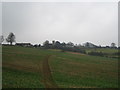
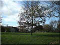
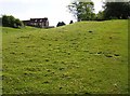
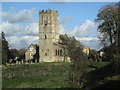
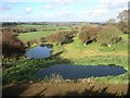
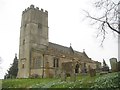
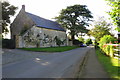
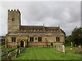
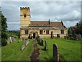
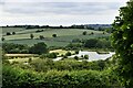
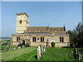
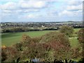
18 photos from this area
Area Information
Key information about the NN7 4SG including its size, population, and administrative classification.
- Area Type
- Postcode
- Area Size
- 1.3 km²
- Population
- 1738
- Population Density
- 65 people/km²
House Prices in NN7 4SG
60
Properties
£396,313
Average Sold Price
£75,000
Lowest Price
£1,800,000
Highest Price
Showing 60 properties
| Address | Type | Beds | Baths | Last Sale Price | Last Sale Date | |
|---|---|---|---|---|---|---|
| 45 Main Street, Church Stowe, NN7 4SG | house | - | - | £285,000 | Nov 2025 | |
| 30 Main Street, Church Stowe, NN7 4SG | house | 3 | 2 | £330,000 | Oct 2024 | |
| 51, Manor Cottages, Main Street, Church Stowe, NN7 4SG | Semi-detached | 4 | 1 | £413,000 | Jan 2023 | |
| Moss Bank, 26 Main Street, Church Stowe, NN7 4SG | Detached | 3 | 2 | £460,000 | May 2021 | |
| Beech Lodge, Main Street, Church Stowe, NN7 4SG | house | - | - | £1,180,000 | Mar 2021 | |
| The Old Post Office, 29 Main Street, Church Stowe, NN7 4SG | Terraced | 3 | 2 | £290,000 | Mar 2020 | |
| 28 Main Street, Church Stowe, NN7 4SG | Terraced | 3 | 2 | £290,000 | Jul 2019 | |
| Windynook, 2 Main Street, Church Stowe, NN7 4SG | house | - | - | £263,000 | May 2018 | |
| 32 Main Street, Church Stowe, NN7 4SG | Bungalow | 3 | 2 | £175,000 | May 2017 | |
| The Maltings, Main Street, Church Stowe, NN7 4SG | Semi-detached | 5 | 2 | £700,000 | Dec 2016 |
Page 1 of 6
Energy Efficiency in NN7 4SG
Amenities
Schools
| Rank | School | Type | Entry gender | Ages |
|---|
Explore more schools in this area
Go to Schools tabDemographics
Household Size
Two person
most common
Accommodation Type
Houses
most common
Tenure
85
majority
Ethnic Group
White
most common
Religion
N/A
most common
Household Composition
N/A
most common
Age
47
median
Adults (30-64 years)
most common
Household Deprivation
N/A
with no deprivation
NS-SEC
46
in Lower managerial occupations
Explore more demographic insights in this area
Go to Demographics tabPlanning
Planning Constraints
- Flood RiskPremium
- Ramsar Wetland SitesPremium
- Area of Outstanding Natural BeautyPremium
- Protected Nature ReservePremium
- Protected WoodlandPremium