Area Overview for NN7 4AR
Photos of NN7 4AR
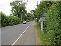
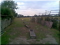
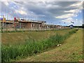
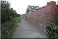
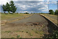
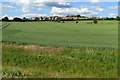
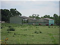

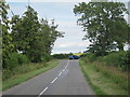
9 photos from this area
Area Information
Key information about the NN7 4AR including its size, population, and administrative classification.
- Area Type
- Postcode
- Area Size
- 22.3 hectares
- Population
- 1543
- Population Density
- 185 people/km²
House Prices in NN7 4AR
30
Properties
£224,426
Average Sold Price
£56,000
Lowest Price
£569,000
Highest Price
Showing 30 properties
| Address | Type | Beds | Baths | Last Sale Price | Last Sale Date | |
|---|---|---|---|---|---|---|
| 9 South View, Harpole, NN7 4AR | Semi-detached | 4 | 1 | £300,000 | Mar 2025 | |
| 3 South View, Harpole, NN7 4AR | Semi-detached | 5 | 2 | £569,000 | Sep 2024 | |
| 11 South View, Harpole, NN7 4AR | Bungalow | - | - | £150,000 | Apr 2024 | |
| 35 South View, Harpole, NN7 4AR | house | - | - | £320,000 | Mar 2021 | |
| 7 South View, Harpole, NN7 4AR | Bungalow | 3 | - | £350,000 | Oct 2015 | |
| 23 South View, Harpole, NN7 4AR | Detached | 3 | - | £220,000 | Sep 2014 | |
| 39 South View, Harpole, NN7 4AR | house | - | - | £240,000 | May 2012 | |
| 27 South View, Harpole, NN7 4AR | Semi-detached | 4 | 2 | £199,000 | Jun 2010 | |
| 59 South View, Harpole, NN7 4AR | Detached | - | - | £245,000 | Sep 2008 | |
| 57 South View, Harpole, NN7 4AR | Detached | 3 | 2 | £270,000 | May 2006 |
Page 1 of 3
Energy Efficiency in NN7 4AR
Amenities
Schools
| Rank | School | Type | Entry gender | Ages |
|---|
Explore more schools in this area
Go to Schools tabDemographics
Household Size
Two person
most common
Accommodation Type
Houses
most common
Tenure
77
majority
Ethnic Group
White
most common
Religion
N/A
most common
Household Composition
N/A
most common
Age
47
median
Adults (30-64 years)
most common
Household Deprivation
N/A
with no deprivation
NS-SEC
36
in Lower managerial occupations
Explore more demographic insights in this area
Go to Demographics tabPlanning
Planning Constraints
- Flood RiskPremium
- Ramsar Wetland SitesPremium
- Area of Outstanding Natural BeautyPremium
- Protected Nature ReservePremium
- Protected WoodlandPremium