Area Overview for NN6 8BU
Photos of NN6 8BU
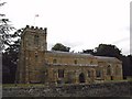
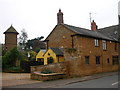
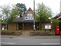
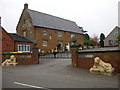

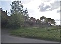
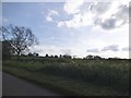

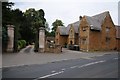
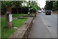
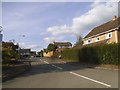
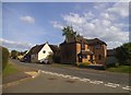
38 photos from this area
Area Information
Key information about the NN6 8BU including its size, population, and administrative classification.
- Area Type
- Postcode
- Area Size
- 20.3 hectares
- Population
- 1864
- Population Density
- 54 people/km²
House Prices in NN6 8BU
64
Properties
£468,625
Average Sold Price
£95,000
Lowest Price
£1,110,000
Highest Price
Showing 64 properties
| Address | Type | Beds | Baths | Last Sale Price | Last Sale Date | |
|---|---|---|---|---|---|---|
| Butlers Cottage, Main Street, East Haddon, NN6 8BU | Semi-detached | 5 | 2 | £530,000 | Jul 2025 | |
| The Plough, Main Street, East Haddon, NN6 8BU | Detached | 5 | 2 | £705,000 | Jan 2025 | |
| Hall Close House, Main Street, East Haddon, NN6 8BU | house | - | - | £635,000 | Jul 2022 | |
| Gardeners Cottage, 20 Main Street, East Haddon, NN6 8BU | Cottage | 4 | 2 | £497,000 | Nov 2020 | |
| Mayfly House, Main Street, East Haddon, NN6 8BU | house | - | - | £450,000 | Nov 2020 | |
| Rose Cottage, Main Street, East Haddon, NN6 8BU | Detached | 5 | 4 | £450,000 | Dec 2019 | |
| 34 Main Street, East Haddon, NN6 8BU | house | 4 | 3 | £537,500 | Jul 2018 | |
| Hall Farm Cottage, Main Street, East Haddon, NN6 8BU | house | 2 | 1 | £180,000 | Nov 2015 | |
| Melrose House, Main Street, East Haddon, NN6 8BU | Detached | 6 | 3 | £587,500 | Jul 2015 | |
| Hall Farm Lodge, Main Street, East Haddon, NN6 8BU | Detached | 5 | 2 | £437,500 | Jun 2015 |
Page 1 of 7
Energy Efficiency in NN6 8BU
Amenities
Schools
| Rank | School | Type | Entry gender | Ages |
|---|
Explore more schools in this area
Go to Schools tabDemographics
Household Size
Two person
most common
Accommodation Type
Houses
most common
Tenure
80
majority
Ethnic Group
White
most common
Religion
N/A
most common
Household Composition
N/A
most common
Age
47
median
Adults (30-64 years)
most common
Household Deprivation
N/A
with no deprivation
NS-SEC
48
in Lower managerial occupations
Explore more demographic insights in this area
Go to Demographics tabPlanning
Planning Constraints
- Flood RiskPremium
- Ramsar Wetland SitesPremium
- Area of Outstanding Natural BeautyPremium
- Protected Nature ReservePremium
- Protected WoodlandPremium