Area Overview for NN6 7YS
Photos of NN6 7YS

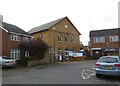
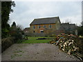
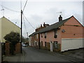
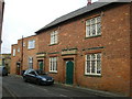
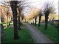
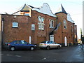
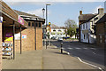
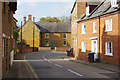
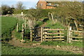
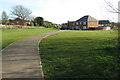
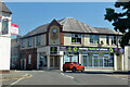
66 photos from this area
Area Information
Key information about the NN6 7YS including its size, population, and administrative classification.
- Area Type
- Postcode
- Area Size
- 1.6 hectares
- Population
- 1409
- Population Density
- 652 people/km²
House Prices in NN6 7YS
42
Properties
£163,286
Average Sold Price
£48,000
Lowest Price
£362,000
Highest Price
Showing 42 properties
| Address | Type | Beds | Baths | Last Sale Price | Last Sale Date | |
|---|---|---|---|---|---|---|
| 55 William Road, Long Buckby, NN6 7YS | Bungalow | 2 | 1 | £231,000 | Dec 2025 | |
| 30 William Road, Long Buckby, NN6 7YS | Terraced | 2 | 1 | £170,000 | Aug 2025 | |
| 23 William Road, Long Buckby, NN6 7YS | Semi-detached | 3 | 2 | £362,000 | Jan 2025 | |
| 17 William Road, Long Buckby, NN6 7YS | Semi-detached | 2 | 1 | £245,000 | Dec 2024 | |
| 34 William Road, Long Buckby, NN6 7YS | Terraced | 2 | 1 | £190,000 | Aug 2024 | |
| 43 William Road, Long Buckby, NN6 7YS | Detached | 4 | 2 | £310,000 | May 2024 | |
| 15 William Road, Long Buckby, NN6 7YS | Semi-detached | 2 | 1 | £205,000 | Apr 2024 | |
| 33 William Road, Long Buckby, NN6 7YS | Semi-detached | 3 | 1 | £265,000 | Oct 2023 | |
| 31 William Road, Long Buckby, NN6 7YS | Detached | 3 | 1 | £226,500 | Aug 2020 | |
| 29 William Road, Long Buckby, NN6 7YS | Semi-detached | 3 | 1 | £175,000 | Jul 2018 |
Page 1 of 5
Energy Efficiency in NN6 7YS
Amenities
Schools
| Rank | School | Type | Entry gender | Ages |
|---|
Explore more schools in this area
Go to Schools tabDemographics
Household Size
Two person
most common
Accommodation Type
Houses
most common
Tenure
89
majority
Ethnic Group
White
most common
Religion
N/A
most common
Household Composition
N/A
most common
Age
47
median
Adults (30-64 years)
most common
Household Deprivation
N/A
with no deprivation
NS-SEC
43
in Lower managerial occupations
Explore more demographic insights in this area
Go to Demographics tabPlanning
Planning Constraints
- Flood RiskPremium
- Ramsar Wetland SitesPremium
- Area of Outstanding Natural BeautyPremium
- Protected Nature ReservePremium
- Protected WoodlandPremium