Area Overview for NN5 7HP
Photos of NN5 7HP
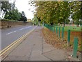
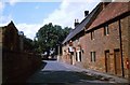

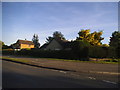
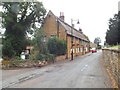
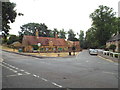
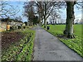
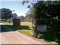

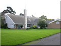
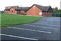
20 photos from this area
Area Information
Key information about the NN5 7HP including its size, population, and administrative classification.
- Area Type
- Postcode
- Area Size
- 1.8 hectares
- Population
- 1335
- Population Density
- 625 people/km²
House Prices in NN5 7HP
24
Properties
£353,100
Average Sold Price
£134,000
Lowest Price
£570,000
Highest Price
Showing 24 properties
| Address | Type | Beds | Baths | Last Sale Price | Last Sale Date | |
|---|---|---|---|---|---|---|
| Middle Ho, 26 Raynsford Road, Northampton, NN5 7HP | Terraced | 3 | 1 | £315,000 | Feb 2025 | |
| The Bartons, 2 Raynsford Road, Northampton, NN5 7HP | Semi-detached | 4 | 3 | £540,000 | Jul 2016 | |
| 22 Raynsford Road, Northampton, NN5 7HP | Cottage | 4 | 2 | £300,000 | Apr 2016 | |
| 24 Raynsford Road, Northampton, NN5 7HP | Terraced | 4 | 2 | £270,000 | Mar 2016 | |
| The Stables, 14 Raynsford Road, Northampton, NN5 7HP | Detached | 4 | - | £530,000 | Mar 2016 | |
| 32 Raynsford Road, Northampton, NN5 7HP | house | - | - | £210,000 | Nov 2010 | |
| Lakeside, Raynsford Road, Northampton, NN5 7HP | house | - | - | £442,000 | Aug 2009 | |
| Dallington Weir, 3 Raynsford Road, Northampton, NN5 7HP | Semi-detached | - | - | £570,000 | Aug 2004 | |
| Cornerways, 1 Raynsford Road, Northampton, NN5 7HP | Detached | - | - | £220,000 | Sep 2001 | |
| 30 Raynsford Road, Northampton, NN5 7HP | house | - | - | £134,000 | Apr 2000 |
Page 1 of 3
Energy Efficiency in NN5 7HP
Amenities
Schools
| Rank | School | Type | Entry gender | Ages |
|---|
Explore more schools in this area
Go to Schools tabDemographics
Household Size
Family (3-5 people)
most common
Accommodation Type
Houses
most common
Tenure
53
majority
Ethnic Group
White
most common
Religion
N/A
most common
Household Composition
N/A
most common
Age
47
median
Adults (30-64 years)
most common
Household Deprivation
N/A
with no deprivation
NS-SEC
26
in Lower managerial occupations
Explore more demographic insights in this area
Go to Demographics tabPlanning
Planning Constraints
- Flood RiskPremium
- Ramsar Wetland SitesPremium
- Area of Outstanding Natural BeautyPremium
- Protected Nature ReservePremium
- Protected WoodlandPremium