Area Overview for NN5 6AZ
Photos of NN5 6AZ
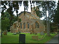
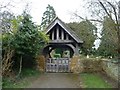
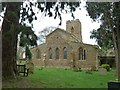
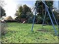
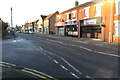
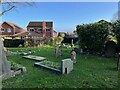
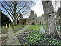
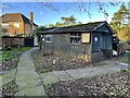
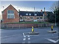
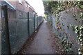
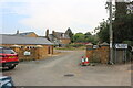
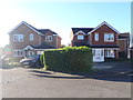
30 photos from this area
Area Information
Key information about the NN5 6AZ including its size, population, and administrative classification.
- Area Type
- Postcode
- Area Size
- 1.4 hectares
- Population
- 2058
- Population Density
- 3789 people/km²
House Prices in NN5 6AZ
37
Properties
£168,486
Average Sold Price
£48,000
Lowest Price
£320,000
Highest Price
Showing 37 properties
| Address | Type | Beds | Baths | Last Sale Price | Last Sale Date | |
|---|---|---|---|---|---|---|
| 80 Mendip Road, Northampton, NN5 6AZ | Bungalow | 2 | 1 | £247,500 | Oct 2025 | |
| 60 Mendip Road, Northampton, NN5 6AZ | house | 4 | 1 | £320,000 | Sep 2023 | |
| 62 Mendip Road, Northampton, NN5 6AZ | Semi-detached | 2 | 1 | £240,000 | Nov 2022 | |
| 106 Mendip Road, Northampton, NN5 6AZ | house | - | - | £255,148 | Jan 2022 | |
| 104 Mendip Road, Northampton, NN5 6AZ | Semi-detached | 2 | - | £270,000 | Sep 2021 | |
| 84 Mendip Road, Northampton, NN5 6AZ | Bungalow | - | - | £260,000 | Jun 2021 | |
| 66 Mendip Road, Northampton, NN5 6AZ | house | - | - | £160,000 | Jan 2021 | |
| 50 Mendip Road, Northampton, NN5 6AZ | Detached | 3 | - | £255,000 | Aug 2018 | |
| 102A Mendip Road, Northampton, NN5 6AZ | Bungalow | 2 | 1 | £302,500 | Apr 2018 | |
| 118 Mendip Road, Northampton, NN5 6AZ | Semi-detached | 3 | 2 | £187,000 | Apr 2018 |
Page 1 of 4
Energy Efficiency in NN5 6AZ
Amenities
Schools
| Rank | School | Type | Entry gender | Ages |
|---|
Explore more schools in this area
Go to Schools tabDemographics
Household Size
Two person
most common
Accommodation Type
Houses
most common
Tenure
80
majority
Ethnic Group
White
most common
Religion
N/A
most common
Household Composition
N/A
most common
Age
47
median
Adults (30-64 years)
most common
Household Deprivation
N/A
with no deprivation
NS-SEC
32
in Lower managerial occupations
Explore more demographic insights in this area
Go to Demographics tabPlanning
Planning Constraints
- Flood RiskPremium
- Ramsar Wetland SitesPremium
- Area of Outstanding Natural BeautyPremium
- Protected Nature ReservePremium
- Protected WoodlandPremium