Area Overview for NN5 4BT
Photos of NN5 4BT
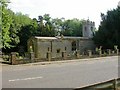
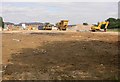
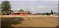
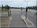
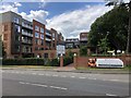
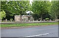
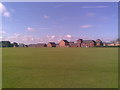
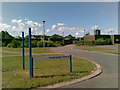
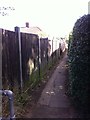
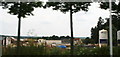
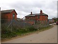
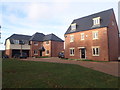
21 photos from this area
Area Information
Key information about the NN5 4BT including its size, population, and administrative classification.
- Area Type
- Postcode
- Area Size
- 2.5 hectares
- Population
- 1656
- Population Density
- 858 people/km²
House Prices in NN5 4BT
16
Properties
£340,583
Average Sold Price
£226,000
Lowest Price
£550,000
Highest Price
Showing 16 properties
| Address | Type | Beds | Baths | Last Sale Price | Last Sale Date | |
|---|---|---|---|---|---|---|
| 16 South Meadow View, Northampton, NN5 4BT | Detached | 4 | 3 | £550,000 | Mar 2024 | |
| 20 South Meadow View, Northampton, NN5 4BT | Retail | 3 | 3 | £325,000 | Jul 2022 | |
| 12 South Meadow View, Northampton, NN5 4BT | Detached | 4 | 2 | £302,500 | Dec 2015 | |
| 5 South Meadow View, Northampton, NN5 4BT | Detached | - | - | £226,000 | Oct 2008 | |
| 9 South Meadow View, Northampton, NN5 4BT | Detached | 4 | 2 | £310,000 | Aug 2007 | |
| 14 South Meadow View, Northampton, NN5 4BT | Detached | - | - | £330,000 | Jun 2007 | |
| 10 South Meadow View, Northampton, NN5 4BT | Detached | 4 | 3 | - | - | |
| 7 South Meadow View, Northampton, NN5 4BT | Detached | 4 | 3 | - | - | |
| 3 South Meadow View, Northampton, NN5 4BT | Detached | 5 | 3 | - | - | |
| 2 South Meadow View, Northampton, NN5 4BT | Detached | 3 | 2 | - | - |
Page 1 of 2
Energy Efficiency in NN5 4BT
Amenities
Schools
| Rank | School | Type | Entry gender | Ages |
|---|
Explore more schools in this area
Go to Schools tabDemographics
Household Size
One person
most common
Accommodation Type
Flats
most common
Tenure
59
majority
Ethnic Group
White
most common
Religion
N/A
most common
Household Composition
N/A
most common
Age
47
median
Adults (30-64 years)
most common
Household Deprivation
N/A
with no deprivation
NS-SEC
41
in Lower managerial occupations
Explore more demographic insights in this area
Go to Demographics tabPlanning
Planning Constraints
- Flood RiskPremium
- Ramsar Wetland SitesPremium
- Area of Outstanding Natural BeautyPremium
- Protected Nature ReservePremium
- Protected WoodlandPremium