Area Overview for NN4 8LF
Photos of NN4 8LF
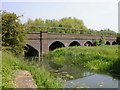
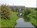
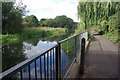
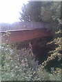
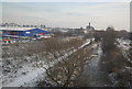
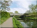
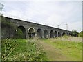
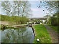
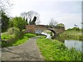
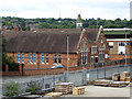
84 photos from this area
Area Information
Key information about the NN4 8LF including its size, population, and administrative classification.
- Area Type
- Postcode
- Area Size
- 1.1 hectares
- Population
- 1587
- Population Density
- 3869 people/km²
House Prices in NN4 8LF
56
Properties
£125,930
Average Sold Price
£29,000
Lowest Price
£265,000
Highest Price
Showing 56 properties
| Address | Type | Beds | Baths | Last Sale Price | Last Sale Date | |
|---|---|---|---|---|---|---|
| 11 Clinton Road, Northampton, NN4 8LF | Terraced | 3 | 1 | £220,000 | Sep 2025 | |
| 62 Clinton Road, Northampton, NN4 8LF | Terraced | 1 | 3 | £265,000 | Aug 2023 | |
| 35 Clinton Road, Northampton, NN4 8LF | Terraced | 2 | 1 | £200,000 | Nov 2022 | |
| 41 Clinton Road, Northampton, NN4 8LF | Terraced | 3 | 1 | £199,000 | Jun 2022 | |
| 20A Clinton Road, Northampton, NN4 8LF | Maisonette | 1 | 1 | £97,000 | Mar 2022 | |
| 31 Clinton Road, Northampton, NN4 8LF | house | - | - | £202,000 | Feb 2022 | |
| 33 Clinton Road, Northampton, NN4 8LF | house | - | - | £171,000 | Sep 2021 | |
| 27 Clinton Road, Northampton, NN4 8LF | house | 2 | - | £210,000 | Sep 2021 | |
| 2 Clinton Road, Northampton, NN4 8LF | Detached | 2 | 1 | £120,000 | Aug 2021 | |
| 48 Clinton Road, Northampton, NN4 8LF | Terraced | 2 | 1 | £166,000 | Jul 2021 |
Page 1 of 6
Energy Efficiency in NN4 8LF
Amenities
Schools
| Rank | School | Type | Entry gender | Ages |
|---|
Explore more schools in this area
Go to Schools tabDemographics
Household Size
Family (3-5 people)
most common
Accommodation Type
Houses
most common
Tenure
57
majority
Ethnic Group
White
most common
Religion
N/A
most common
Household Composition
N/A
most common
Age
47
median
Adults (30-64 years)
most common
Household Deprivation
N/A
with no deprivation
NS-SEC
21
in Lower managerial occupations
Explore more demographic insights in this area
Go to Demographics tabPlanning
Planning Constraints
- Flood RiskPremium
- Ramsar Wetland SitesPremium
- Area of Outstanding Natural BeautyPremium
- Protected Nature ReservePremium
- Protected WoodlandPremium