Area Overview for NN4 8LD
Photos of NN4 8LD
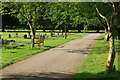
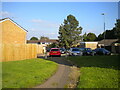
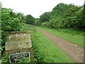
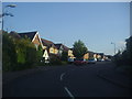
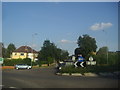
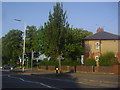
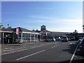

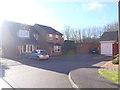
22 photos from this area
Area Information
Key information about the NN4 8LD including its size, population, and administrative classification.
- Area Type
- Postcode
- Area Size
- 1.9 hectares
- Population
- 1968
- Population Density
- 4525 people/km²
House Prices in NN4 8LD
29
Properties
£200,669
Average Sold Price
£65,000
Lowest Price
£385,000
Highest Price
Showing 29 properties
| Address | Type | Beds | Baths | Last Sale Price | Last Sale Date | |
|---|---|---|---|---|---|---|
| 80 Lancaster Way, Northampton, NN4 8LD | Detached | 4 | 2 | £365,000 | Apr 2024 | |
| 106 Lancaster Way, Northampton, NN4 8LD | Detached | 4 | 2 | £375,000 | Mar 2022 | |
| 104 Lancaster Way, Northampton, NN4 8LD | house | 4 | - | £360,000 | Feb 2021 | |
| 68 Lancaster Way, Northampton, NN4 8LD | house | - | - | £375,000 | Jan 2021 | |
| 98 Lancaster Way, Northampton, NN4 8LD | Detached | 4 | 2 | £330,000 | Dec 2019 | |
| 78 Lancaster Way, Northampton, NN4 8LD | Detached | 4 | 2 | £385,000 | Oct 2018 | |
| 72 Lancaster Way, Northampton, NN4 8LD | Detached | 4 | - | £275,000 | May 2014 | |
| 92 Lancaster Way, Northampton, NN4 8LD | Detached | 3 | - | £180,000 | Jan 2014 | |
| 88 Lancaster Way, Northampton, NN4 8LD | house | - | - | £200,000 | Dec 2013 | |
| 74 Lancaster Way, Northampton, NN4 8LD | Detached | 4 | 2 | £207,000 | Apr 2012 |
Page 1 of 3
Energy Efficiency in NN4 8LD
Amenities
Schools
| Rank | School | Type | Entry gender | Ages |
|---|
Explore more schools in this area
Go to Schools tabDemographics
Household Size
Family (3-5 people)
most common
Accommodation Type
Houses
most common
Tenure
72
majority
Ethnic Group
White
most common
Religion
N/A
most common
Household Composition
N/A
most common
Age
47
median
Adults (30-64 years)
most common
Household Deprivation
N/A
with no deprivation
NS-SEC
33
in Lower managerial occupations
Explore more demographic insights in this area
Go to Demographics tabPlanning
Planning Constraints
- Flood RiskPremium
- Ramsar Wetland SitesPremium
- Area of Outstanding Natural BeautyPremium
- Protected Nature ReservePremium
- Protected WoodlandPremium