Area Overview for NN4 0RY
Photos of NN4 0RY
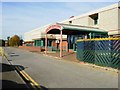
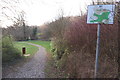
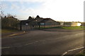
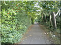
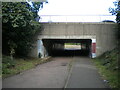
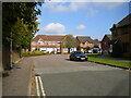
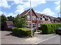
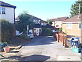
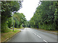
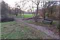
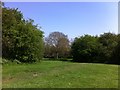
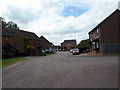
17 photos from this area
Area Information
Key information about the NN4 0RY including its size, population, and administrative classification.
- Area Type
- Postcode
- Area Size
- 3.9 hectares
- Population
- 1343
- Population Density
- 1925 people/km²
House Prices in NN4 0RY
82
Properties
£184,309
Average Sold Price
£20,000
Lowest Price
£335,000
Highest Price
Showing 82 properties
| Address | Type | Beds | Baths | Last Sale Price | Last Sale Date | |
|---|---|---|---|---|---|---|
| 58 South Copse, Northampton, NN4 0RY | Terraced | 2 | 1 | £220,000 | Dec 2024 | |
| 84 South Copse, Northampton, NN4 0RY | Detached | 3 | 1 | £280,000 | Oct 2024 | |
| 21 South Copse, Northampton, NN4 0RY | Detached | 4 | 2 | £312,500 | Aug 2024 | |
| 77 South Copse, Northampton, NN4 0RY | Detached | 3 | 2 | £310,000 | Mar 2024 | |
| 28 South Copse, Northampton, NN4 0RY | Detached | 3 | 2 | £300,000 | Feb 2024 | |
| 24 South Copse, Northampton, NN4 0RY | house | 2 | 1 | £180,000 | Sep 2023 | |
| 75 South Copse, Northampton, NN4 0RY | Detached | 3 | 1 | £290,000 | Jun 2023 | |
| 18 South Copse, Northampton, NN4 0RY | house | - | - | £215,000 | Jan 2023 | |
| 70 South Copse, Northampton, NN4 0RY | Terraced | 2 | 1 | £230,000 | Jul 2022 | |
| 44 South Copse, Northampton, NN4 0RY | Detached | 3 | 1 | £330,000 | May 2022 |
Page 1 of 9
Energy Efficiency in NN4 0RY
Amenities
Schools
| Rank | School | Type | Entry gender | Ages |
|---|
Explore more schools in this area
Go to Schools tabDemographics
Household Size
Family (3-5 people)
most common
Accommodation Type
Houses
most common
Tenure
88
majority
Ethnic Group
White
most common
Religion
N/A
most common
Household Composition
N/A
most common
Age
47
median
Adults (30-64 years)
most common
Household Deprivation
N/A
with no deprivation
NS-SEC
45
in Lower managerial occupations
Explore more demographic insights in this area
Go to Demographics tabPlanning
Planning Constraints
- Flood RiskPremium
- Ramsar Wetland SitesPremium
- Area of Outstanding Natural BeautyPremium
- Protected Nature ReservePremium
- Protected WoodlandPremium