Area Overview for NN17 5GJ
Photos of NN17 5GJ
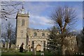
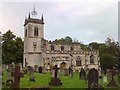
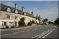
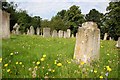
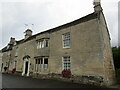
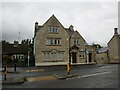
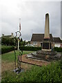
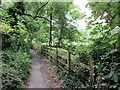
39 photos from this area
Area Information
Key information about the NN17 5GJ including its size, population, and administrative classification.
- Area Type
- Postcode
- Area Size
- 3.6 hectares
- Population
- 1459
- Population Density
- 2953 people/km²
House Prices in NN17 5GJ
33
Properties
£308,111
Average Sold Price
£176,995
Lowest Price
£405,000
Highest Price
Showing 33 properties
| Address | Type | Beds | Baths | Last Sale Price | Last Sale Date | |
|---|---|---|---|---|---|---|
| 37 Birkdale Drive, Corby, NN17 5GJ | house | 4 | 2 | £405,000 | Sep 2025 | |
| 31 Birkdale Drive, Corby, NN17 5GJ | house | - | - | £405,000 | Oct 2024 | |
| 45 Birkdale Drive, Corby, NN17 5GJ | house | - | - | £395,000 | Oct 2024 | |
| 7 Birkdale Drive, Corby, NN17 5GJ | Semi-detached | 3 | 2 | £242,000 | Aug 2023 | |
| 65 Birkdale Drive, Corby, NN17 5GJ | Detached | - | - | £336,995 | Mar 2021 | |
| 3 Birkdale Drive, Corby, NN17 5GJ | Retail | 3 | 2 | £219,995 | Jan 2021 | |
| 1 Birkdale Drive, Corby, NN17 5GJ | house | - | - | £255,995 | Jan 2021 | |
| 5 Birkdale Drive, Corby, NN17 5GJ | house | - | - | £216,995 | Jan 2021 | |
| 61 Birkdale Drive, Corby, NN17 5GJ | house | - | - | £278,305 | Dec 2020 | |
| 63 Birkdale Drive, Corby, NN17 5GJ | house | - | - | £335,995 | Dec 2020 |
Page 1 of 4
Energy Efficiency in NN17 5GJ
Amenities
Schools
| Rank | School | Type | Entry gender | Ages |
|---|
Explore more schools in this area
Go to Schools tabDemographics
Household Size
Family (3-5 people)
most common
Accommodation Type
Houses
most common
Tenure
82
majority
Ethnic Group
White
most common
Religion
N/A
most common
Household Composition
N/A
most common
Age
47
median
Adults (30-64 years)
most common
Household Deprivation
N/A
with no deprivation
NS-SEC
39
in Lower managerial occupations
Explore more demographic insights in this area
Go to Demographics tabPlanning
Planning Constraints
- Flood RiskPremium
- Ramsar Wetland SitesPremium
- Area of Outstanding Natural BeautyPremium
- Protected Nature ReservePremium
- Protected WoodlandPremium