Area Overview for NN17 5FP
Photos of NN17 5FP
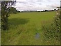
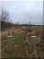
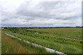
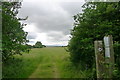
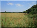
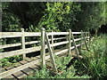
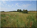
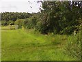
8 photos from this area
Area Information
Key information about the NN17 5FP including its size, population, and administrative classification.
- Area Type
- Postcode
- Area Size
- 31.6 hectares
- Population
- 1723
- Population Density
- 407 people/km²
House Prices in NN17 5FP
79
Properties
£258,212
Average Sold Price
£103,414
Lowest Price
£375,000
Highest Price
Showing 79 properties
| Address | Type | Beds | Baths | Last Sale Price | Last Sale Date | |
|---|---|---|---|---|---|---|
| 34 Kestrel Road, Corby, NN17 5FP | Detached | 4 | 3 | £375,000 | Sep 2025 | |
| 140 Kestrel Road, Corby, NN17 5FP | Semi-detached | 4 | 2 | £300,000 | Mar 2025 | |
| 44 Kestrel Road, Corby, NN17 5FP | Detached | 4 | 1 | £317,500 | Jan 2025 | |
| 76 Kestrel Road, Corby, NN17 5FP | house | - | - | £305,000 | Dec 2024 | |
| 48 Kestrel Road, Corby, NN17 5FP | Detached | 4 | 2 | £300,000 | May 2024 | |
| 112 Kestrel Road, Corby, NN17 5FP | Semi-detached | 4 | 2 | £290,000 | Dec 2023 | |
| 160 Kestrel Road, Corby, NN17 5FP | house | - | - | £274,500 | Nov 2023 | |
| 162 Kestrel Road, Corby, NN17 5FP | house | - | - | £274,950 | Oct 2023 | |
| 82 Kestrel Road, Corby, NN17 5FP | Semi-detached | 4 | 2 | £300,000 | Mar 2023 | |
| 122 Kestrel Road, Corby, NN17 5FP | house | - | - | £325,250 | Dec 2022 |
Page 1 of 8
Energy Efficiency in NN17 5FP
Amenities
Schools
| Rank | School | Type | Entry gender | Ages |
|---|
Explore more schools in this area
Go to Schools tabDemographics
Household Size
Family (3-5 people)
most common
Accommodation Type
Houses
most common
Tenure
81
majority
Ethnic Group
White
most common
Religion
N/A
most common
Household Composition
N/A
most common
Age
47
median
Adults (30-64 years)
most common
Household Deprivation
N/A
with no deprivation
NS-SEC
41
in Lower managerial occupations
Explore more demographic insights in this area
Go to Demographics tabPlanning
Planning Constraints
- Flood RiskPremium
- Ramsar Wetland SitesPremium
- Area of Outstanding Natural BeautyPremium
- Protected Nature ReservePremium
- Protected WoodlandPremium