Area Overview for NN17 3HX
Photos of NN17 3HX

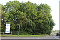
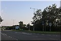
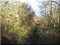
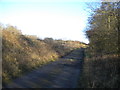
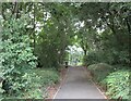
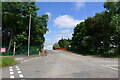
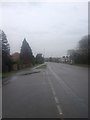
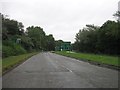

12 photos from this area
Area Information
Key information about the NN17 3HX including its size, population, and administrative classification.
- Area Type
- Postcode
- Area Size
- 3.2 hectares
- Population
- 1898
- Population Density
- 203 people/km²
House Prices in NN17 3HX
32
Properties
£245,675
Average Sold Price
£37,000
Lowest Price
£650,000
Highest Price
Showing 32 properties
| Address | Type | Beds | Baths | Last Sale Price | Last Sale Date | |
|---|---|---|---|---|---|---|
| 90 Corby Road, Weldon, NN17 3HX | Semi-detached | 3 | 1 | £375,000 | Mar 2025 | |
| 106 Corby Road, Weldon, NN17 3HX | Detached | 5 | 3 | £650,000 | Jun 2024 | |
| 130 Corby Road, Weldon, NN17 3HX | house | - | - | £225,000 | Oct 2023 | |
| 96 Corby Road, Weldon, NN17 3HX | house | 3 | - | £200,000 | Jun 2023 | |
| 100 Corby Road, Weldon, NN17 3HX | Bungalow | - | - | £325,000 | Mar 2023 | |
| 102 Corby Road, Weldon, NN17 3HX | Bungalow | 3 | 2 | £455,000 | Oct 2022 | |
| 74 Corby Road, Weldon, NN17 3HX | Detached | 6 | 3 | £525,000 | Feb 2022 | |
| 120 Corby Road, Weldon, NN17 3HX | house | - | - | £110,000 | Mar 2018 | |
| 112 Corby Road, Weldon, NN17 3HX | Detached | 4 | 2 | £177,500 | Jan 2016 | |
| 78 Corby Road, Weldon, NN17 3HX | Bungalow | 4 | 2 | £280,000 | Dec 2015 |
Page 1 of 4
Energy Efficiency in NN17 3HX
Amenities
Schools
| Rank | School | Type | Entry gender | Ages |
|---|
Explore more schools in this area
Go to Schools tabDemographics
Household Size
Two person
most common
Accommodation Type
Houses
most common
Tenure
87
majority
Ethnic Group
White
most common
Religion
N/A
most common
Household Composition
N/A
most common
Age
47
median
Adults (30-64 years)
most common
Household Deprivation
N/A
with no deprivation
NS-SEC
39
in Lower managerial occupations
Explore more demographic insights in this area
Go to Demographics tabPlanning
Planning Constraints
- Flood RiskPremium
- Ramsar Wetland SitesPremium
- Area of Outstanding Natural BeautyPremium
- Protected Nature ReservePremium
- Protected WoodlandPremium