Area Overview for NN16 9PS
Photos of NN16 9PS
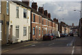

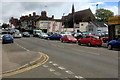
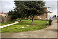
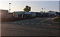
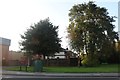
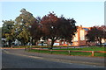
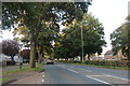
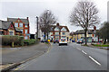
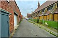
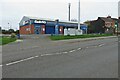
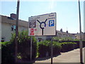
13 photos from this area
Area Information
Key information about the NN16 9PS including its size, population, and administrative classification.
- Area Type
- Postcode
- Area Size
- 1.0 hectares
- Population
- 1526
- Population Density
- 3060 people/km²
House Prices in NN16 9PS
31
Properties
£122,864
Average Sold Price
£28,000
Lowest Price
£230,000
Highest Price
Showing 31 properties
| Address | Type | Beds | Baths | Last Sale Price | Last Sale Date | |
|---|---|---|---|---|---|---|
| 82 Orchard Crescent, Kettering, NN16 9PS | Semi-detached | 3 | 1 | £230,000 | Aug 2025 | |
| 106 Orchard Crescent, Kettering, NN16 9PS | Terraced | 2 | 1 | £210,000 | Sep 2024 | |
| 99 Orchard Crescent, Kettering, NN16 9PS | house | - | - | £135,000 | Mar 2021 | |
| 108 Orchard Crescent, Kettering, NN16 9PS | Terraced | 3 | - | £115,000 | Jul 2017 | |
| 104 Orchard Crescent, Kettering, NN16 9PS | house | 2 | 1 | £125,000 | Aug 2016 | |
| 84 Orchard Crescent, Kettering, NN16 9PS | house | 3 | - | £104,000 | Jun 2014 | |
| 89 Orchard Crescent, Kettering, NN16 9PS | house | 3 | - | £110,000 | Nov 2013 | |
| 85 Orchard Crescent, Kettering, NN16 9PS | Terraced | 2 | 1 | £92,000 | May 2008 | |
| 81 Orchard Crescent, Kettering, NN16 9PS | house | - | - | £95,000 | Aug 2007 | |
| 86 Orchard Crescent, Kettering, NN16 9PS | house | - | - | £107,500 | Mar 2006 |
Page 1 of 4
Energy Efficiency in NN16 9PS
Amenities
Schools
| Rank | School | Type | Entry gender | Ages |
|---|
Explore more schools in this area
Go to Schools tabDemographics
Household Size
Family (3-5 people)
most common
Accommodation Type
Houses
most common
Tenure
38
majority
Ethnic Group
White
most common
Religion
N/A
most common
Household Composition
N/A
most common
Age
47
median
Adults (30-64 years)
most common
Household Deprivation
N/A
with no deprivation
NS-SEC
16
in Lower managerial occupations
Explore more demographic insights in this area
Go to Demographics tabPlanning
Planning Constraints
- Flood RiskPremium
- Ramsar Wetland SitesPremium
- Area of Outstanding Natural BeautyPremium
- Protected Nature ReservePremium
- Protected WoodlandPremium