Area Overview for NN16 9NP
Photos of NN16 9NP
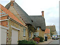
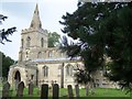
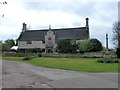
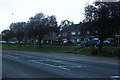
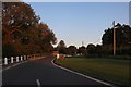
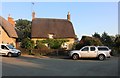
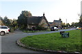
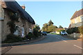
21 photos from this area
Area Information
Key information about the NN16 9NP including its size, population, and administrative classification.
- Area Type
- Postcode
- Area Size
- 24.5 hectares
- Population
- 1698
- Population Density
- 34 people/km²
House Prices in NN16 9NP
44
Properties
£109,123
Average Sold Price
£38,000
Lowest Price
£185,000
Highest Price
Showing 44 properties
| Address | Type | Beds | Baths | Last Sale Price | Last Sale Date | |
|---|---|---|---|---|---|---|
| 20 Weekley Glebe Road, Kettering, NN16 9NP | Flat | - | - | £120,000 | Feb 2023 | |
| 46 Weekley Glebe Road, Kettering, NN16 9NP | Flat | - | - | £126,000 | May 2022 | |
| 42A Weekley Glebe Road, Kettering, NN16 9NP | Flat | - | - | £131,000 | May 2021 | |
| 25 Weekley Glebe Road, Kettering, NN16 9NP | house | - | - | £185,000 | Mar 2021 | |
| 38A Weekley Glebe Road, Kettering, NN16 9NP | Maisonette | - | - | £127,500 | Aug 2018 | |
| 26A Weekley Glebe Road, Kettering, NN16 9NP | Flat | - | - | £115,500 | Jun 2018 | |
| 50 Weekley Glebe Road, Kettering, NN16 9NP | Flat | - | - | £82,950 | Apr 2014 | |
| 30A Weekley Glebe Road, Kettering, NN16 9NP | Maisonette | - | - | £72,000 | Mar 2014 | |
| 23 Weekley Glebe Road, Kettering, NN16 9NP | house | - | - | £86,000 | Jul 2012 | |
| 29 Weekley Glebe Road, Kettering, NN16 9NP | house | - | - | £116,400 | Nov 2010 |
Page 1 of 5
Energy Efficiency in NN16 9NP
Amenities
Schools
| Rank | School | Type | Entry gender | Ages |
|---|
Explore more schools in this area
Go to Schools tabDemographics
Household Size
Two person
most common
Accommodation Type
Houses
most common
Tenure
68
majority
Ethnic Group
White
most common
Religion
N/A
most common
Household Composition
N/A
most common
Age
47
median
Adults (30-64 years)
most common
Household Deprivation
N/A
with no deprivation
NS-SEC
38
in Lower managerial occupations
Explore more demographic insights in this area
Go to Demographics tabPlanning
Planning Constraints
- Flood RiskPremium
- Ramsar Wetland SitesPremium
- Area of Outstanding Natural BeautyPremium
- Protected Nature ReservePremium
- Protected WoodlandPremium