Area Overview for NN15 6WD
Photos of NN15 6WD
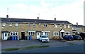
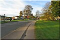
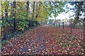
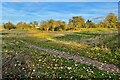
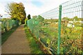
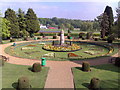
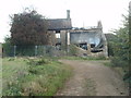
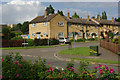
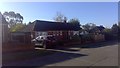
19 photos from this area
Area Information
Key information about the NN15 6WD including its size, population, and administrative classification.
- Area Type
- Postcode
- Area Size
- 3.7 hectares
- Population
- 2353
- Population Density
- 3753 people/km²
House Prices in NN15 6WD
75
Properties
£292,083
Average Sold Price
£36,112
Lowest Price
£485,000
Highest Price
Showing 75 properties
| Address | Type | Beds | Baths | Last Sale Price | Last Sale Date | |
|---|---|---|---|---|---|---|
| 106 Manor Road, Barton Seagrave, NN15 6WD | house | - | - | £105,750 | Nov 2025 | |
| 56 Manor Road, Barton Seagrave, NN15 6WD | house | - | - | £298,000 | Jan 2025 | |
| 150 Manor Road, Barton Seagrave, NN15 6WD | Detached | 3 | 2 | £396,500 | Oct 2024 | |
| 142 Manor Road, Barton Seagrave, NN15 6WD | house | - | - | £395,000 | Sep 2024 | |
| 28 Manor Road, Barton Seagrave, NN15 6WD | Semi-detached | 4 | 2 | £290,000 | Jun 2024 | |
| 18 Manor Road, Barton Seagrave, NN15 6WD | Semi-detached | 4 | 2 | £256,000 | May 2024 | |
| 74 Manor Road, Barton Seagrave, NN15 6WD | house | - | - | £290,000 | Jan 2024 | |
| 22 Manor Road, Barton Seagrave, NN15 6WD | Semi-detached | 3 | 2 | £315,000 | Nov 2023 | |
| 138 Manor Road, Barton Seagrave, NN15 6WD | Detached | 4 | 3 | £485,000 | Oct 2023 | |
| 80 Manor Road, Barton Seagrave, NN15 6WD | house | - | - | £331,000 | Jul 2023 |
Page 1 of 8
Energy Efficiency in NN15 6WD
Amenities
Schools
| Rank | School | Type | Entry gender | Ages |
|---|
Explore more schools in this area
Go to Schools tabDemographics
Household Size
Family (3-5 people)
most common
Accommodation Type
Houses
most common
Tenure
86
majority
Ethnic Group
White
most common
Religion
N/A
most common
Household Composition
N/A
most common
Age
47
median
Adults (30-64 years)
most common
Household Deprivation
N/A
with no deprivation
NS-SEC
40
in Lower managerial occupations
Explore more demographic insights in this area
Go to Demographics tabPlanning
Planning Constraints
- Flood RiskPremium
- Ramsar Wetland SitesPremium
- Area of Outstanding Natural BeautyPremium
- Protected Nature ReservePremium
- Protected WoodlandPremium