Area Overview for NN15 6AU
Photos of NN15 6AU
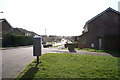
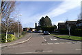
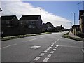
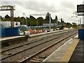
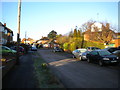
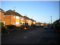
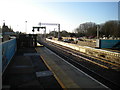
42 photos from this area
Area Information
Key information about the NN15 6AU including its size, population, and administrative classification.
- Area Type
- Postcode
- Area Size
- 3273 m²
- Population
- 2263
- Population Density
- 5126 people/km²
House Prices in NN15 6AU
16
Properties
£235,002
Average Sold Price
£194,995
Lowest Price
£300,000
Highest Price
Showing 16 properties
| Address | Type | Beds | Baths | Last Sale Price | Last Sale Date | |
|---|---|---|---|---|---|---|
| 69 St Michaels Road, Kettering, NN15 6AU | Terraced | 3 | 2 | £238,000 | Jan 2025 | |
| 97 St Michaels Road, Kettering, NN15 6AU | Semi-detached | 3 | 2 | £300,000 | Nov 2023 | |
| 85 St Michaels Road, Kettering, NN15 6AU | Terraced | 3 | 2 | £260,000 | Aug 2023 | |
| 71 St Michaels Road, Kettering, NN15 6AU | Terraced | 3 | 1 | £248,000 | Jul 2023 | |
| 93 St Michaels Road, Kettering, NN15 6AU | Semi-detached | 4 | 2 | £290,000 | Dec 2022 | |
| 83 St Michaels Road, Kettering, NN15 6AU | Detached | 3 | 3 | £261,000 | Aug 2022 | |
| 91 St Michaels Road, Kettering, NN15 6AU | house | - | - | £290,000 | Nov 2021 | |
| 95 St Michaels Road, Kettering, NN15 6AU | Semi-detached | 3 | 1 | £273,070 | Mar 2020 | |
| 77 St Michaels Road, Kettering, NN15 6AU | house | - | - | £194,995 | Jul 2018 | |
| 73 St Michaels Road, Kettering, NN15 6AU | house | - | - | £194,995 | Jun 2018 |
Page 1 of 2
Energy Efficiency in NN15 6AU
Amenities
Schools
| Rank | School | Type | Entry gender | Ages |
|---|
Explore more schools in this area
Go to Schools tabDemographics
Household Size
One person
most common
Accommodation Type
Houses
most common
Tenure
56
majority
Ethnic Group
White
most common
Religion
N/A
most common
Household Composition
N/A
most common
Age
47
median
Adults (30-64 years)
most common
Household Deprivation
N/A
with no deprivation
NS-SEC
36
in Lower managerial occupations
Explore more demographic insights in this area
Go to Demographics tabPlanning
Planning Constraints
- Flood RiskPremium
- Ramsar Wetland SitesPremium
- Area of Outstanding Natural BeautyPremium
- Protected Nature ReservePremium
- Protected WoodlandPremium