Area Overview for NN15 5UX
Photos of NN15 5UX
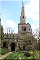
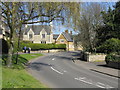
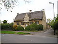
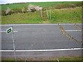
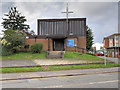
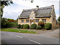
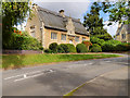
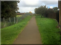
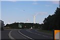
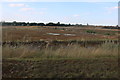
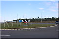
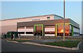
22 photos from this area
Area Information
Key information about the NN15 5UX including its size, population, and administrative classification.
- Area Type
- Postcode
- Area Size
- 1.3 hectares
- Population
- 2642
- Population Density
- 375 people/km²
House Prices in NN15 5UX
31
Properties
£234,499
Average Sold Price
£169,200
Lowest Price
£320,000
Highest Price
Showing 31 properties
| Address | Type | Beds | Baths | Last Sale Price | Last Sale Date | |
|---|---|---|---|---|---|---|
| 23 Woodford Road, Burton Latimer, NN15 5UX | Semi-detached | 3 | 2 | £270,000 | Jul 2024 | |
| 10 Woodford Road, Burton Latimer, NN15 5UX | house | - | - | £300,000 | Mar 2024 | |
| 35 Woodford Road, Burton Latimer, NN15 5UX | Terraced | 3 | 2 | £290,000 | May 2022 | |
| 27 Woodford Road, Burton Latimer, NN15 5UX | Semi-detached | 3 | 1 | £256,000 | May 2022 | |
| 47 Woodford Road, Burton Latimer, NN15 5UX | house | - | - | £291,770 | Jul 2021 | |
| 31 Woodford Road, Burton Latimer, NN15 5UX | Terraced | 3 | 2 | £207,500 | Jun 2021 | |
| 7 Woodford Road, Burton Latimer, NN15 5UX | house | - | - | £235,000 | Apr 2021 | |
| 33 Woodford Road, Burton Latimer, NN15 5UX | house | - | - | £289,995 | Nov 2020 | |
| 8 Woodford Road, Burton Latimer, NN15 5UX | house | - | - | £247,500 | Nov 2020 | |
| 25 Woodford Road, Burton Latimer, NN15 5UX | Semi-detached | 3 | 2 | £242,500 | Aug 2020 |
Page 1 of 4
Energy Efficiency in NN15 5UX
Amenities
Schools
| Rank | School | Type | Entry gender | Ages |
|---|
Explore more schools in this area
Go to Schools tabDemographics
Household Size
Family (3-5 people)
most common
Accommodation Type
Houses
most common
Tenure
82
majority
Ethnic Group
White
most common
Religion
N/A
most common
Household Composition
N/A
most common
Age
47
median
Adults (30-64 years)
most common
Household Deprivation
N/A
with no deprivation
NS-SEC
43
in Lower managerial occupations
Explore more demographic insights in this area
Go to Demographics tabPlanning
Planning Constraints
- Flood RiskPremium
- Ramsar Wetland SitesPremium
- Area of Outstanding Natural BeautyPremium
- Protected Nature ReservePremium
- Protected WoodlandPremium