Area Overview for NN15 5UF
Photos of NN15 5UF
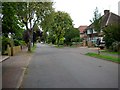
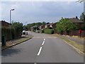
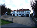
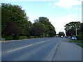
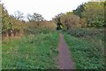
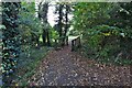
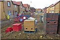
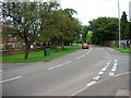
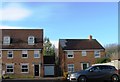
9 photos from this area
Area Information
Key information about the NN15 5UF including its size, population, and administrative classification.
- Area Type
- Postcode
- Area Size
- 1.6 hectares
- Population
- 1284
- Population Density
- 6135 people/km²
House Prices in NN15 5UF
25
Properties
£199,431
Average Sold Price
£61,000
Lowest Price
£361,000
Highest Price
Showing 25 properties
| Address | Type | Beds | Baths | Last Sale Price | Last Sale Date | |
|---|---|---|---|---|---|---|
| 25 Hockney Avenue, Kettering, NN15 5UF | Detached | 4 | 2 | £360,000 | Aug 2023 | |
| 1 Hockney Avenue, Kettering, NN15 5UF | Detached | 3 | - | £303,000 | Feb 2021 | |
| 24 Hockney Avenue, Kettering, NN15 5UF | Detached | 4 | - | £305,000 | Jun 2019 | |
| 7 Hockney Avenue, Kettering, NN15 5UF | house | - | - | £361,000 | Mar 2019 | |
| 13 Hockney Avenue, Kettering, NN15 5UF | house | - | - | £226,000 | Jun 2016 | |
| 9 Hockney Avenue, Kettering, NN15 5UF | house | - | - | £170,000 | Mar 2013 | |
| 21 Hockney Avenue, Kettering, NN15 5UF | house | 3 | 3 | £193,500 | Apr 2012 | |
| 16 Hockney Avenue, Kettering, NN15 5UF | house | 3 | - | £188,000 | Nov 2007 | |
| 17 Hockney Avenue, Kettering, NN15 5UF | Detached | - | - | £187,000 | Jan 2007 | |
| 15 Hockney Avenue, Kettering, NN15 5UF | Detached | - | - | £225,000 | Aug 2006 |
Page 1 of 3
Energy Efficiency in NN15 5UF
Amenities
Schools
| Rank | School | Type | Entry gender | Ages |
|---|
Explore more schools in this area
Go to Schools tabDemographics
Household Size
Family (3-5 people)
most common
Accommodation Type
Houses
most common
Tenure
79
majority
Ethnic Group
White
most common
Religion
N/A
most common
Household Composition
N/A
most common
Age
47
median
Adults (30-64 years)
most common
Household Deprivation
N/A
with no deprivation
NS-SEC
38
in Lower managerial occupations
Explore more demographic insights in this area
Go to Demographics tabPlanning
Planning Constraints
- Flood RiskPremium
- Ramsar Wetland SitesPremium
- Area of Outstanding Natural BeautyPremium
- Protected Nature ReservePremium
- Protected WoodlandPremium