Area Overview for NN15 5FA
Photos of NN15 5FA

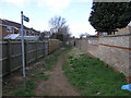
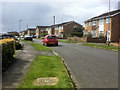
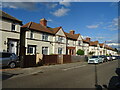
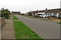
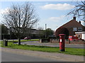
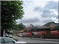
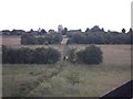
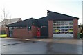
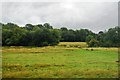
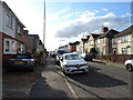
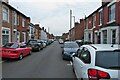
15 photos from this area
Area Information
Key information about the NN15 5FA including its size, population, and administrative classification.
- Area Type
- Postcode
- Area Size
- 9178 m²
- Population
- 1935
- Population Density
- 1776 people/km²
House Prices in NN15 5FA
5
Properties
£252,999
Average Sold Price
£230,000
Lowest Price
£295,000
Highest Price
Showing 5 properties
| Address | Type | Beds | Baths | Last Sale Price | Last Sale Date | |
|---|---|---|---|---|---|---|
| 4 Charles Court, Burton Latimer, NN15 5FA | Bungalow | - | - | £245,000 | Nov 2012 | |
| 3 Charles Court, Burton Latimer, NN15 5FA | house | - | - | £249,995 | Feb 2012 | |
| 1 Charles Court, Burton Latimer, NN15 5FA | house | 1 | - | £230,000 | Mar 2011 | |
| 2 Charles Court, Burton Latimer, NN15 5FA | house | - | - | £245,000 | Feb 2008 | |
| 5 Charles Court, Burton Latimer, NN15 5FA | Detached | - | - | £295,000 | Nov 2007 |
Energy Efficiency in NN15 5FA
Amenities
Schools
| Rank | School | Type | Entry gender | Ages |
|---|
Explore more schools in this area
Go to Schools tabDemographics
Household Size
Two person
most common
Accommodation Type
Houses
most common
Tenure
76
majority
Ethnic Group
White
most common
Religion
N/A
most common
Household Composition
N/A
most common
Age
47
median
Adults (30-64 years)
most common
Household Deprivation
N/A
with no deprivation
NS-SEC
28
in Lower managerial occupations
Explore more demographic insights in this area
Go to Demographics tabPlanning
Planning Constraints
- Flood RiskPremium
- Ramsar Wetland SitesPremium
- Area of Outstanding Natural BeautyPremium
- Protected Nature ReservePremium
- Protected WoodlandPremium