Area Overview for NN14 6LA
Photos of NN14 6LA
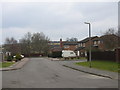
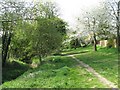
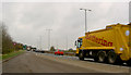
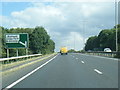
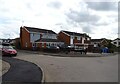
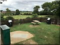
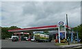
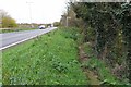

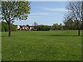
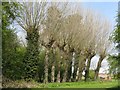
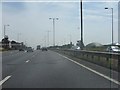
22 photos from this area
Area Information
Key information about the NN14 6LA including its size, population, and administrative classification.
- Area Type
- Postcode
- Area Size
- 10.1 hectares
- Population
- 1791
- Population Density
- 467 people/km²
House Prices in NN14 6LA
30
Properties
£196,062
Average Sold Price
£75,950
Lowest Price
£465,000
Highest Price
Showing 30 properties
| Address | Type | Beds | Baths | Last Sale Price | Last Sale Date | |
|---|---|---|---|---|---|---|
| 7 Dempsey Drive, Rothwell, NN14 6LA | Detached | 4 | 2 | £465,000 | Mar 2025 | |
| 10 Dempsey Drive, Rothwell, NN14 6LA | Detached | 4 | 2 | £373,000 | Sep 2024 | |
| 1 Dempsey Drive, Rothwell, NN14 6LA | Detached | 4 | 2 | £395,000 | Jun 2022 | |
| 16 Dempsey Drive, Rothwell, NN14 6LA | house | - | - | £250,000 | Aug 2021 | |
| 34 Dempsey Drive, Rothwell, NN14 6LA | Detached | 4 | 2 | £310,000 | Apr 2020 | |
| 18 Dempsey Drive, Rothwell, NN14 6LA | Detached | 3 | 1 | £267,000 | Dec 2019 | |
| 28 Dempsey Drive, Rothwell, NN14 6LA | house | 4 | - | £187,000 | May 2012 | |
| 11 Dempsey Drive, Rothwell, NN14 6LA | house | - | - | £215,000 | Mar 2010 | |
| 12 Dempsey Drive, Rothwell, NN14 6LA | Detached | - | - | £215,000 | Mar 2007 | |
| 8 Dempsey Drive, Rothwell, NN14 6LA | Detached | - | - | £187,500 | Jun 2006 |
Page 1 of 3
Energy Efficiency in NN14 6LA
Amenities
Schools
| Rank | School | Type | Entry gender | Ages |
|---|
Explore more schools in this area
Go to Schools tabDemographics
Household Size
Two person
most common
Accommodation Type
Houses
most common
Tenure
87
majority
Ethnic Group
White
most common
Religion
N/A
most common
Household Composition
N/A
most common
Age
47
median
Adults (30-64 years)
most common
Household Deprivation
N/A
with no deprivation
NS-SEC
37
in Lower managerial occupations
Explore more demographic insights in this area
Go to Demographics tabPlanning
Planning Constraints
- Flood RiskPremium
- Ramsar Wetland SitesPremium
- Area of Outstanding Natural BeautyPremium
- Protected Nature ReservePremium
- Protected WoodlandPremium