Area Overview for NN14 6HG
Photos of NN14 6HG
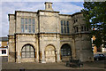
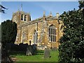
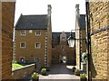
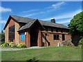
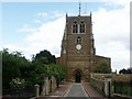
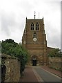
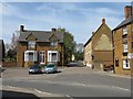
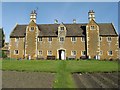
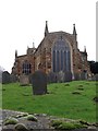
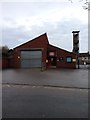
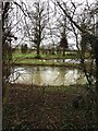
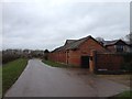
79 photos from this area
Area Information
Key information about the NN14 6HG including its size, population, and administrative classification.
- Area Type
- Postcode
- Area Size
- 2.3 hectares
- Population
- 2432
- Population Density
- 948 people/km²
House Prices in NN14 6HG
41
Properties
£207,417
Average Sold Price
£44,950
Lowest Price
£425,000
Highest Price
Showing 41 properties
| Address | Type | Beds | Baths | Last Sale Price | Last Sale Date | |
|---|---|---|---|---|---|---|
| 77 Rushton Road, Rothwell, NN14 6HG | Detached | 3 | 2 | £300,000 | Nov 2024 | |
| 75 Rushton Road, Rothwell, NN14 6HG | Semi-detached | 2 | 1 | £190,000 | Jul 2024 | |
| 45 Rushton Road, Rothwell, NN14 6HG | Detached | 4 | 2 | £425,000 | Jun 2024 | |
| 29 Rushton Road, Rothwell, NN14 6HG | Terraced | 4 | 2 | £235,000 | Jul 2023 | |
| 23 Rushton Road, Rothwell, NN14 6HG | Semi-detached | 3 | 1 | £227,500 | Nov 2022 | |
| 25 Rushton Road, Rothwell, NN14 6HG | house | 3 | - | £267,000 | Sep 2022 | |
| 19 Rushton Road, Rothwell, NN14 6HG | house | - | - | £178,000 | May 2021 | |
| 49 Rushton Road, Rothwell, NN14 6HG | Land | - | - | £351,500 | Feb 2021 | |
| 103 Rushton Road, Rothwell, NN14 6HG | Bungalow | 3 | 1 | £382,500 | Nov 2019 | |
| 47 Rushton Road, Rothwell, NN14 6HG | house | - | - | £266,500 | Sep 2017 |
Page 1 of 5
Energy Efficiency in NN14 6HG
Amenities
Schools
| Rank | School | Type | Entry gender | Ages |
|---|
Explore more schools in this area
Go to Schools tabDemographics
Household Size
One person
most common
Accommodation Type
Houses
most common
Tenure
60
majority
Ethnic Group
White
most common
Religion
N/A
most common
Household Composition
N/A
most common
Age
47
median
Adults (30-64 years)
most common
Household Deprivation
N/A
with no deprivation
NS-SEC
32
in Lower managerial occupations
Explore more demographic insights in this area
Go to Demographics tabPlanning
Planning Constraints
- Flood RiskPremium
- Ramsar Wetland SitesPremium
- Area of Outstanding Natural BeautyPremium
- Protected Nature ReservePremium
- Protected WoodlandPremium