Area Overview for NN14 4EJ
Photos of NN14 4EJ
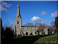
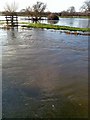
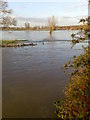
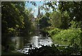
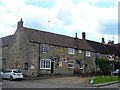
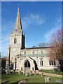
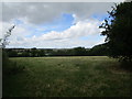
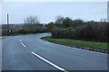
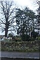
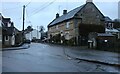
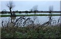
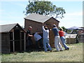
23 photos from this area
Area Information
Key information about the NN14 4EJ including its size, population, and administrative classification.
- Area Type
- Postcode
- Area Size
- 7192 m²
- Population
- 2331
- Population Density
- 153 people/km²
House Prices in NN14 4EJ
15
Properties
£295,357
Average Sold Price
£111,500
Lowest Price
£580,000
Highest Price
Showing 15 properties
| Address | Type | Beds | Baths | Last Sale Price | Last Sale Date | |
|---|---|---|---|---|---|---|
| Holmsley, Pegs Lane, Denford, NN14 4EJ | Detached | 3 | 1 | £312,000 | Jul 2022 | |
| Hill House, Pegs Lane, Denford, NN14 4EJ | Detached | 5 | 3 | £580,000 | Jun 2021 | |
| 1, Hillhouse Gardens, Pegs Lane, Denford, NN14 4EJ | house | - | - | £580,000 | Feb 2018 | |
| 9 Pegs Lane, Denford, NN14 4EJ | Detached | 5 | 2 | £227,000 | Sep 2014 | |
| 11 Pegs Lane, Denford, NN14 4EJ | Detached | 3 | 2 | £122,000 | Dec 2001 | |
| 17 Pegs Lane, Denford, NN14 4EJ | Detached | 3 | - | £135,000 | Aug 2000 | |
| 15 Pegs Lane, Denford, NN14 4EJ | Detached | - | - | £111,500 | Aug 2000 | |
| 1, Westview, Pegs Lane, Denford, NN14 4EJ | Cottage | 3 | 2 | - | - | |
| 3, Cromwell Cottages, Pegs Lane, Denford, NN14 4EJ | Cottage | 2 | - | - | - | |
| 2, Westview, Pegs Lane, Denford, NN14 4EJ | Cottage | 2 | - | - | - |
Page 1 of 2
Energy Efficiency in NN14 4EJ
Amenities
Schools
| Rank | School | Type | Entry gender | Ages |
|---|
Explore more schools in this area
Go to Schools tabDemographics
Household Size
Two person
most common
Accommodation Type
Houses
most common
Tenure
80
majority
Ethnic Group
White
most common
Religion
N/A
most common
Household Composition
N/A
most common
Age
47
median
Adults (30-64 years)
most common
Household Deprivation
N/A
with no deprivation
NS-SEC
39
in Lower managerial occupations
Explore more demographic insights in this area
Go to Demographics tabPlanning
Planning Constraints
- Flood RiskPremium
- Ramsar Wetland SitesPremium
- Area of Outstanding Natural BeautyPremium
- Protected Nature ReservePremium
- Protected WoodlandPremium