Area Overview for NN14 2RW
Photos of NN14 2RW
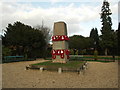
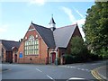
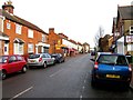
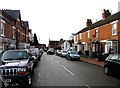
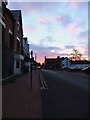
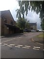
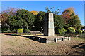
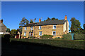
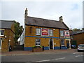
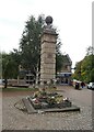
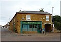
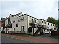
44 photos from this area
Area Information
Key information about the NN14 2RW including its size, population, and administrative classification.
- Area Type
- Postcode
- Area Size
- 8078 m²
- Population
- 1293
- Population Density
- 3404 people/km²
House Prices in NN14 2RW
24
Properties
£144,769
Average Sold Price
£14,500
Lowest Price
£355,000
Highest Price
Showing 24 properties
| Address | Type | Beds | Baths | Last Sale Price | Last Sale Date | |
|---|---|---|---|---|---|---|
| 20 Rushton Road, Desborough, NN14 2RW | Terraced | 3 | 1 | £220,000 | Mar 2024 | |
| 44 Rushton Road, Desborough, NN14 2RW | house | 3 | 1 | £355,000 | Mar 2024 | |
| 26 Rushton Road, Desborough, NN14 2RW | house | - | - | £220,000 | Jul 2022 | |
| 16 Rushton Road, Desborough, NN14 2RW | house | 3 | - | £178,000 | Jul 2021 | |
| 22 Rushton Road, Desborough, NN14 2RW | house | - | - | £190,000 | Dec 2020 | |
| 18 Rushton Road, Desborough, NN14 2RW | Semi-detached | 2 | - | £152,500 | Feb 2018 | |
| 40 Rushton Road, Desborough, NN14 2RW | Terraced | 3 | 2 | £92,500 | Oct 2015 | |
| 14 Rushton Road, Desborough, NN14 2RW | Semi-detached | 3 | 1 | £121,000 | Sep 2012 | |
| 12 Rushton Road, Desborough, NN14 2RW | Semi-detached | 3 | - | £120,000 | Apr 2009 | |
| 10 Rushton Road, Desborough, NN14 2RW | Retail | 3 | 2 | £159,500 | Sep 2006 |
Page 1 of 3
Energy Efficiency in NN14 2RW
Amenities
Schools
| Rank | School | Type | Entry gender | Ages |
|---|
Explore more schools in this area
Go to Schools tabDemographics
Household Size
Two person
most common
Accommodation Type
Houses
most common
Tenure
75
majority
Ethnic Group
White
most common
Religion
N/A
most common
Household Composition
N/A
most common
Age
47
median
Adults (30-64 years)
most common
Household Deprivation
N/A
with no deprivation
NS-SEC
30
in Lower managerial occupations
Explore more demographic insights in this area
Go to Demographics tabPlanning
Planning Constraints
- Flood RiskPremium
- Ramsar Wetland SitesPremium
- Area of Outstanding Natural BeautyPremium
- Protected Nature ReservePremium
- Protected WoodlandPremium