Area Overview for NN13 7AS
Photos of NN13 7AS
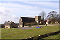
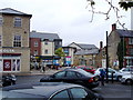
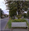
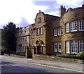
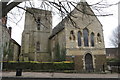
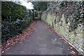
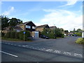
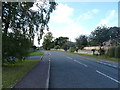
52 photos from this area
Area Information
Key information about the NN13 7AS including its size, population, and administrative classification.
- Area Type
- Postcode
- Area Size
- 1.3 hectares
- Population
- 2271
- Population Density
- 2849 people/km²
House Prices in NN13 7AS
18
Properties
£350,269
Average Sold Price
£179,000
Lowest Price
£670,000
Highest Price
Showing 18 properties
| Address | Type | Beds | Baths | Last Sale Price | Last Sale Date | |
|---|---|---|---|---|---|---|
| 9 Burwell Hill, Brackley, NN13 7AS | Semi-detached | 3 | 1 | £305,000 | Dec 2023 | |
| The Mount, 31 Burwell Hill, Brackley, NN13 7AS | house | - | - | £670,000 | Feb 2021 | |
| 3 Burwell Hill, Brackley, NN13 7AS | Detached | 3 | - | £362,500 | Aug 2020 | |
| 15 Burwell Hill, Brackley, NN13 7AS | Detached | 4 | 2 | £375,000 | Feb 2019 | |
| 11 Burwell Hill, Brackley, NN13 7AS | Semi-detached | 3 | 1 | £280,000 | Nov 2018 | |
| Ambleside, 23 Burwell Hill, Brackley, NN13 7AS | house | - | - | £533,000 | Dec 2017 | |
| 17 Burwell Hill, Brackley, NN13 7AS | house | 4 | - | £309,000 | Jun 2017 | |
| 7 Burwell Hill, Brackley, NN13 7AS | Detached | 4 | 2 | £307,500 | Jun 2016 | |
| Homeleigh, 37 Burwell Hill, Brackley, NN13 7AS | house | 4 | - | £367,500 | Mar 2014 | |
| 1 Burwell Hill, Brackley, NN13 7AS | house | 3 | - | £195,000 | Dec 2010 |
Page 1 of 2
Energy Efficiency in NN13 7AS
Amenities
Schools
| Rank | School | Type | Entry gender | Ages |
|---|
Explore more schools in this area
Go to Schools tabDemographics
Household Size
Family (3-5 people)
most common
Accommodation Type
Houses
most common
Tenure
91
majority
Ethnic Group
White
most common
Religion
N/A
most common
Household Composition
N/A
most common
Age
47
median
Adults (30-64 years)
most common
Household Deprivation
N/A
with no deprivation
NS-SEC
46
in Lower managerial occupations
Explore more demographic insights in this area
Go to Demographics tabPlanning
Planning Constraints
- Flood RiskPremium
- Ramsar Wetland SitesPremium
- Area of Outstanding Natural BeautyPremium
- Protected Nature ReservePremium
- Protected WoodlandPremium