Area Overview for NN12 8UT
Photos of NN12 8UT
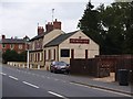
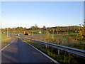

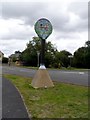
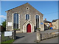
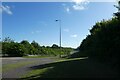
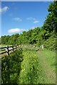
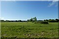
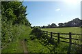
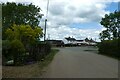
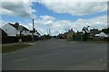
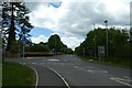
27 photos from this area
Area Information
Key information about the NN12 8UT including its size, population, and administrative classification.
- Area Type
- Postcode
- Area Size
- 1.7 hectares
- Population
- 2835
- Population Density
- 374 people/km²
House Prices in NN12 8UT
38
Properties
£266,823
Average Sold Price
£50,000
Lowest Price
£650,000
Highest Price
Showing 38 properties
| Address | Type | Beds | Baths | Last Sale Price | Last Sale Date | |
|---|---|---|---|---|---|---|
| The Ironstones, 15 Murswell Lane, Silverstone, NN12 8UT | Detached | 3 | 1 | £650,000 | Jul 2025 | |
| Copse, 11A Murswell Lane, Silverstone, NN12 8UT | house | - | - | £600,000 | Mar 2025 | |
| 21 Murswell Lane, Silverstone, NN12 8UT | Semi-detached | 2 | 1 | £330,000 | Oct 2022 | |
| 34 Murswell Lane, Silverstone, NN12 8UT | house | - | - | £224,600 | Feb 2022 | |
| 7 Murswell Lane, Silverstone, NN12 8UT | house | 4 | - | £410,000 | Jun 2021 | |
| 30 Murswell Lane, Silverstone, NN12 8UT | house | - | - | £263,375 | Apr 2021 | |
| 3A Murswell Lane, Silverstone, NN12 8UT | house | 2 | - | £285,000 | Sep 2020 | |
| 38 Murswell Lane, Silverstone, NN12 8UT | Terraced | 3 | 1 | £220,000 | Mar 2020 | |
| Wren Cottage, 19 Murswell Lane, Silverstone, NN12 8UT | Semi-detached | 2 | 1 | £220,000 | May 2019 | |
| 28 Murswell Lane, Silverstone, NN12 8UT | house | 3 | 1 | £249,995 | Jul 2018 |
Page 1 of 4
Energy Efficiency in NN12 8UT
Amenities
Schools
| Rank | School | Type | Entry gender | Ages |
|---|
Explore more schools in this area
Go to Schools tabDemographics
Household Size
Family (3-5 people)
most common
Accommodation Type
Houses
most common
Tenure
78
majority
Ethnic Group
White
most common
Religion
N/A
most common
Household Composition
N/A
most common
Age
47
median
Adults (30-64 years)
most common
Household Deprivation
N/A
with no deprivation
NS-SEC
44
in Lower managerial occupations
Explore more demographic insights in this area
Go to Demographics tabPlanning
Planning Constraints
- Flood RiskPremium
- Ramsar Wetland SitesPremium
- Area of Outstanding Natural BeautyPremium
- Protected Nature ReservePremium
- Protected WoodlandPremium