Area Overview for NN11 0SE
Photos of NN11 0SE
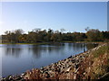
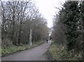
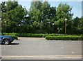
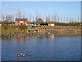
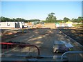
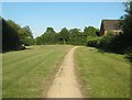
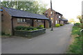
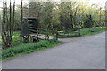
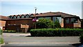
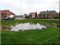
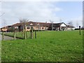
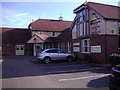
20 photos from this area
Area Information
Key information about the NN11 0SE including its size, population, and administrative classification.
- Area Type
- Postcode
- Area Size
- 2.6 hectares
- Population
- 1373
- Population Density
- 4357 people/km²
House Prices in NN11 0SE
62
Properties
£112,494
Average Sold Price
£24,500
Lowest Price
£240,000
Highest Price
Showing 62 properties
| Address | Type | Beds | Baths | Last Sale Price | Last Sale Date | |
|---|---|---|---|---|---|---|
| 76 Stanley Way, Daventry, NN11 0SE | Semi-detached | 2 | 1 | £240,000 | May 2025 | |
| 70 Stanley Way, Daventry, NN11 0SE | Semi-detached | 2 | 1 | £232,500 | Apr 2025 | |
| 12 Stanley Way, Daventry, NN11 0SE | Terraced | 2 | 1 | £185,000 | Jan 2025 | |
| 64 Stanley Way, Daventry, NN11 0SE | house | 2 | 1 | £230,000 | Aug 2022 | |
| 32 Stanley Way, Daventry, NN11 0SE | Terraced | 1 | 1 | £150,000 | May 2022 | |
| 72 Stanley Way, Daventry, NN11 0SE | Semi-detached | 2 | 1 | £175,000 | Jan 2020 | |
| 48 Stanley Way, Daventry, NN11 0SE | Semi-detached | 1 | 1 | £130,000 | Jul 2019 | |
| 56 Stanley Way, Daventry, NN11 0SE | house | 2 | - | £182,000 | Jun 2019 | |
| 36 Stanley Way, Daventry, NN11 0SE | Semi-detached | 1 | 1 | £105,000 | Sep 2018 | |
| 38 Stanley Way, Daventry, NN11 0SE | Terraced | 1 | 1 | £108,500 | Mar 2016 |
Page 1 of 7
Energy Efficiency in NN11 0SE
Amenities
Schools
| Rank | School | Type | Entry gender | Ages |
|---|
Explore more schools in this area
Go to Schools tabDemographics
Household Size
Two person
most common
Accommodation Type
Houses
most common
Tenure
64
majority
Ethnic Group
White
most common
Religion
N/A
most common
Household Composition
N/A
most common
Age
47
median
Adults (30-64 years)
most common
Household Deprivation
N/A
with no deprivation
NS-SEC
31
in Lower managerial occupations
Explore more demographic insights in this area
Go to Demographics tabPlanning
Planning Constraints
- Flood RiskPremium
- Ramsar Wetland SitesPremium
- Area of Outstanding Natural BeautyPremium
- Protected Nature ReservePremium
- Protected WoodlandPremium