Area Overview for NN10 9EZ
Photos of NN10 9EZ
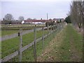
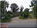
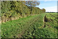
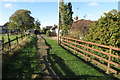
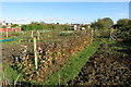
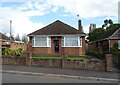
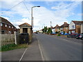
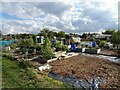
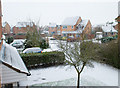
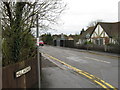
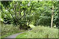
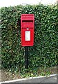
12 photos from this area
Area Information
Key information about the NN10 9EZ including its size, population, and administrative classification.
- Area Type
- Postcode
- Area Size
- 3.5 hectares
- Population
- 1733
- Population Density
- 3173 people/km²
House Prices in NN10 9EZ
51
Properties
£183,435
Average Sold Price
£41,000
Lowest Price
£550,000
Highest Price
Showing 51 properties
| Address | Type | Beds | Baths | Last Sale Price | Last Sale Date | |
|---|---|---|---|---|---|---|
| 61 Grangeway, Rushden, NN10 9EZ | Semi-detached | 3 | 1 | £249,000 | Aug 2024 | |
| 2A Grangeway, Rushden, NN10 9EZ | house | 4 | 2 | £550,000 | May 2024 | |
| 10 Grangeway, Rushden, NN10 9EZ | Semi-detached | 3 | 1 | £248,000 | Mar 2024 | |
| 43 Grangeway, Rushden, NN10 9EZ | Bungalow | 3 | - | £275,000 | Feb 2024 | |
| 67 Grangeway, Rushden, NN10 9EZ | Semi-detached | 3 | 1 | £230,000 | May 2023 | |
| 17 Grangeway, Rushden, NN10 9EZ | Semi-detached | 3 | 2 | £350,000 | Feb 2023 | |
| 59 Grangeway, Rushden, NN10 9EZ | Semi-detached | 3 | 1 | £270,000 | May 2022 | |
| 47 Grangeway, Rushden, NN10 9EZ | Semi-detached | 3 | 1 | £257,000 | Nov 2021 | |
| 31 Grangeway, Rushden, NN10 9EZ | Bungalow | - | - | £245,000 | Jan 2021 | |
| 22 Grangeway, Rushden, NN10 9EZ | Semi-detached | 3 | 1 | £223,000 | Oct 2019 |
Page 1 of 6
Energy Efficiency in NN10 9EZ
Amenities
Schools
| Rank | School | Type | Entry gender | Ages |
|---|
Explore more schools in this area
Go to Schools tabDemographics
Household Size
Two person
most common
Accommodation Type
Houses
most common
Tenure
88
majority
Ethnic Group
White
most common
Religion
N/A
most common
Household Composition
N/A
most common
Age
47
median
Adults (30-64 years)
most common
Household Deprivation
N/A
with no deprivation
NS-SEC
29
in Lower managerial occupations
Explore more demographic insights in this area
Go to Demographics tabPlanning
Planning Constraints
- Flood RiskPremium
- Ramsar Wetland SitesPremium
- Area of Outstanding Natural BeautyPremium
- Protected Nature ReservePremium
- Protected WoodlandPremium