Area Overview for NN10 0NZ
Photos of NN10 0NZ
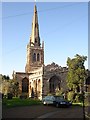

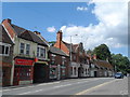

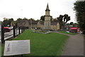

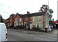
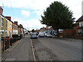
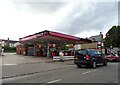

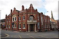

29 photos from this area
Area Information
Key information about the NN10 0NZ including its size, population, and administrative classification.
- Area Type
- Postcode
- Area Size
- 1.3 hectares
- Population
- 1898
- Population Density
- 5989 people/km²
House Prices in NN10 0NZ
33
Properties
£1,453,333
Average Sold Price
£230,000
Lowest Price
£3,700,000
Highest Price
Showing 33 properties
| Address | Type | Beds | Baths | Last Sale Price | Last Sale Date | |
|---|---|---|---|---|---|---|
| Flat At The Feathers, 105 High Street, Rushden, NN10 0NZ | Flat | 5 | - | £430,000 | Apr 2023 | |
| 133A High Street, Rushden, NN10 0NZ | Flat | 1 | 1 | £230,000 | Feb 2023 | |
| 103A High Street, Rushden, NN10 0NZ | Flat | - | - | £3,700,000 | May 2017 | |
| 117A High Street, Rushden, NN10 0NZ | Flat | 2 | 1 | - | - | |
| 93B High Street, Rushden, NN10 0NZ | Flat | 2 | 1 | - | - | |
| Flat 1, 119 High Street, Rushden, NN10 0NZ | Flat | 4 | 1 | - | - | |
| 111 High Street, Rushden, NN10 0NZ | Retail | - | - | - | - | |
| 125 High Street South, Rushden, NN10 0NZ | undefined | - | - | - | - | |
| Ground Floor Excluding Flat 1, 129 High Street, Rushden, NN10 0NZ | undefined | - | - | - | - | |
| Flat, 133 High Street, Rushden, NN10 0NZ | Flat | - | - | - | - |
Page 1 of 4
Energy Efficiency in NN10 0NZ
Amenities
Schools
| Rank | School | Type | Entry gender | Ages |
|---|
Explore more schools in this area
Go to Schools tabDemographics
Household Size
One person
most common
Accommodation Type
Houses
most common
Tenure
50
majority
Ethnic Group
White
most common
Religion
N/A
most common
Household Composition
N/A
most common
Age
47
median
Adults (30-64 years)
most common
Household Deprivation
N/A
with no deprivation
NS-SEC
21
in Lower managerial occupations
Explore more demographic insights in this area
Go to Demographics tabPlanning
Planning Constraints
- Flood RiskPremium
- Ramsar Wetland SitesPremium
- Area of Outstanding Natural BeautyPremium
- Protected Nature ReservePremium
- Protected WoodlandPremium