Area Overview for NN1 2JY
Photos of NN1 2JY
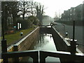
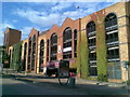
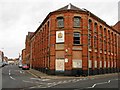
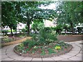

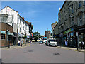
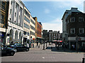
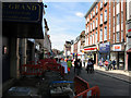

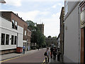
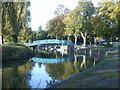
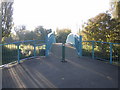
100 photos from this area
Area Information
Key information about the NN1 2JY including its size, population, and administrative classification.
- Area Type
- Postcode
- Area Size
- 3885 m²
- Population
- 1826
- Population Density
- 5742 people/km²
House Prices in NN1 2JY
18
Properties
£121,800
Average Sold Price
£91,000
Lowest Price
£135,000
Highest Price
Showing 18 properties
| Address | Type | Beds | Baths | Last Sale Price | Last Sale Date | |
|---|---|---|---|---|---|---|
| 101, Sigma House, Narrow Lane, Northampton, NN1 2JY | Flat | 2 | 2 | £121,000 | Nov 2023 | |
| G04, Sigma House, Narrow Lane, Northampton, NN1 2JY | Flat | - | - | £130,000 | Jun 2022 | |
| G03, Sigma House, Narrow Lane, Northampton, NN1 2JY | Flat | 1 | 1 | £91,000 | Aug 2017 | |
| G01, Sigma House, Narrow Lane, Northampton, NN1 2JY | Flat | 1 | 1 | £135,000 | Sep 2016 | |
| G02, Sigma House, Narrow Lane, Northampton, NN1 2JY | Flat | - | - | £132,000 | Mar 2016 | |
| 105, Sigma House, Narrow Lane, Northampton, NN1 2JY | Flat | 1 | 1 | - | - | |
| 205, Sigma House, Narrow Lane, Northampton, NN1 2JY | Flat | 2 | 2 | - | - | |
| 203, Sigma House, Narrow Lane, Northampton, NN1 2JY | Flat | 2 | 1 | - | - | |
| 201, Sigma House, Narrow Lane, Northampton, NN1 2JY | Flat | 2 | 2 | - | - | |
| 302, Sigma House, Narrow Lane, Northampton, NN1 2JY | Flat | 2 | 2 | - | - |
Page 1 of 2
Energy Efficiency in NN1 2JY
Amenities
Schools
| Rank | School | Type | Entry gender | Ages |
|---|
Explore more schools in this area
Go to Schools tabDemographics
Household Size
One person
most common
Accommodation Type
Flats
most common
Tenure
17
majority
Ethnic Group
White
most common
Religion
N/A
most common
Household Composition
N/A
most common
Age
47
median
Adults (30-64 years)
most common
Household Deprivation
N/A
with no deprivation
NS-SEC
22
in Lower managerial occupations
Explore more demographic insights in this area
Go to Demographics tabPlanning
Planning Constraints
- Flood RiskPremium
- Ramsar Wetland SitesPremium
- Area of Outstanding Natural BeautyPremium
- Protected Nature ReservePremium
- Protected WoodlandPremium