Area Overview for NG9 8GF
Photos of NG9 8GF
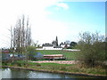
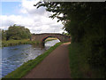
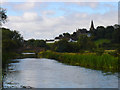
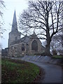
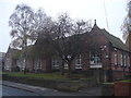
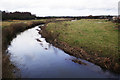
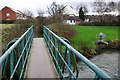
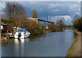
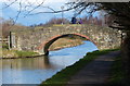
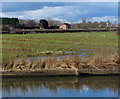
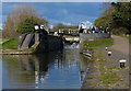
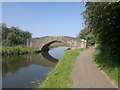
100 photos from this area
Area Information
Key information about the NG9 8GF including its size, population, and administrative classification.
- Area Type
- Postcode
- Area Size
- 7060 m²
- Population
- 1311
- Population Density
- 2963 people/km²
House Prices in NG9 8GF
15
Properties
£143,006
Average Sold Price
£23,000
Lowest Price
£250,000
Highest Price
Showing 15 properties
| Address | Type | Beds | Baths | Last Sale Price | Last Sale Date | |
|---|---|---|---|---|---|---|
| 79 Church Street, Stapleford, NG9 8GF | Detached | 3 | 1 | £240,000 | May 2025 | |
| 99 Church Street, Stapleford, NG9 8GF | Retail | 3 | 1 | £250,000 | Mar 2023 | |
| 95 Church Street, Stapleford, NG9 8GF | Detached | 3 | - | £185,000 | Aug 2015 | |
| 81 Church Street, Stapleford, NG9 8GF | Detached | 3 | - | £157,500 | Jul 2012 | |
| 93 Church Street, Stapleford, NG9 8GF | Detached | - | - | £125,000 | Sep 2003 | |
| 85 Church Street, Stapleford, NG9 8GF | Detached | 3 | 2 | £112,000 | Mar 2003 | |
| 83 Church Street, Stapleford, NG9 8GF | Detached | - | - | £51,550 | Mar 2002 | |
| 101 Church Street, Stapleford, NG9 8GF | house | - | - | £23,000 | Jul 1995 | |
| 105 Church Street, Stapleford, NG9 8GF | Detached | 3 | 1 | - | - | |
| 71A Church Street, Stapleford, NG9 8GF | Flat | - | - | - | - |
Page 1 of 2
Energy Efficiency in NG9 8GF
Amenities
Schools
| Rank | School | Type | Entry gender | Ages |
|---|
Explore more schools in this area
Go to Schools tabDemographics
Household Size
Two person
most common
Accommodation Type
Houses
most common
Tenure
70
majority
Ethnic Group
White
most common
Religion
N/A
most common
Household Composition
N/A
most common
Age
47
median
Adults (30-64 years)
most common
Household Deprivation
N/A
with no deprivation
NS-SEC
25
in Lower managerial occupations
Explore more demographic insights in this area
Go to Demographics tabPlanning
Planning Constraints
- Flood RiskPremium
- Ramsar Wetland SitesPremium
- Area of Outstanding Natural BeautyPremium
- Protected Nature ReservePremium
- Protected WoodlandPremium