Area Overview for NG9 3PG
Photos of NG9 3PG
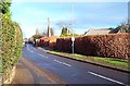
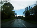
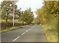
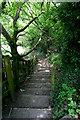
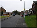
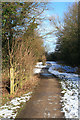
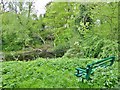
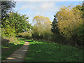
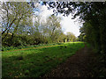
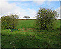
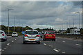
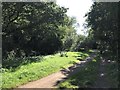
45 photos from this area
Area Information
Key information about the NG9 3PG including its size, population, and administrative classification.
- Area Type
- Postcode
- Area Size
- 1.1 km²
- Population
- 2287
- Population Density
- 349 people/km²
House Prices in NG9 3PG
26
Properties
£295,091
Average Sold Price
£42,000
Lowest Price
£515,000
Highest Price
Showing 26 properties
| Address | Type | Beds | Baths | Last Sale Price | Last Sale Date | |
|---|---|---|---|---|---|---|
| 5 Cossall Road, Trowell, NG9 3PG | Detached | 3 | 3 | £515,000 | Dec 2022 | |
| 17 Cossall Road, Trowell, NG9 3PG | Detached | 4 | 2 | £470,000 | Nov 2019 | |
| 10 Cossall Road, Trowell, NG9 3PG | Bungalow | 2 | 2 | £325,000 | Jul 2019 | |
| 19 Cossall Road, Trowell, NG9 3PG | Bungalow | 3 | 1 | £350,000 | Mar 2017 | |
| 1 Cossall Road, Trowell, NG9 3PG | Detached | 5 | 2 | £460,000 | Jan 2016 | |
| 14 Cossall Road, Trowell, NG9 3PG | Bungalow | 3 | - | £225,000 | Sep 2013 | |
| 12 Cossall Road, Trowell, NG9 3PG | Detached | - | - | £250,000 | May 2003 | |
| 9 Cossall Road, Trowell, NG9 3PG | house | 4 | - | £230,000 | Jan 2003 | |
| 21 Cossall Road, Trowell, NG9 3PG | Detached | - | - | £174,000 | Mar 2002 | |
| 6 Cossall Road, Trowell, NG9 3PG | Detached | - | - | £205,000 | Feb 2001 |
Page 1 of 3
Energy Efficiency in NG9 3PG
Amenities
Schools
| Rank | School | Type | Entry gender | Ages |
|---|
Explore more schools in this area
Go to Schools tabDemographics
Household Size
Two person
most common
Accommodation Type
Houses
most common
Tenure
89
majority
Ethnic Group
White
most common
Religion
N/A
most common
Household Composition
N/A
most common
Age
47
median
Adults (30-64 years)
most common
Household Deprivation
N/A
with no deprivation
NS-SEC
35
in Lower managerial occupations
Explore more demographic insights in this area
Go to Demographics tabPlanning
Planning Constraints
- Flood RiskPremium
- Ramsar Wetland SitesPremium
- Area of Outstanding Natural BeautyPremium
- Protected Nature ReservePremium
- Protected WoodlandPremium