Area Overview for NG9 3LG
Photos of NG9 3LG
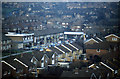
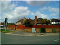
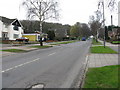
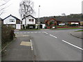
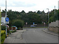
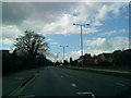
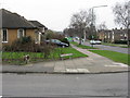
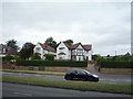
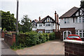
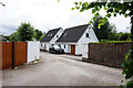
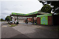
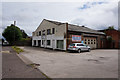
62 photos from this area
Area Information
Key information about the NG9 3LG including its size, population, and administrative classification.
- Area Type
- Postcode
- Area Size
- 1.6 hectares
- Population
- 1258
- Population Density
- 4276 people/km²
House Prices in NG9 3LG
34
Properties
£263,633
Average Sold Price
£78,500
Lowest Price
£750,000
Highest Price
Showing 34 properties
| Address | Type | Beds | Baths | Last Sale Price | Last Sale Date | |
|---|---|---|---|---|---|---|
| 34 Magnolia Court, Beeston, NG9 3LG | Detached | 4 | 1 | £265,000 | Mar 2025 | |
| 20 Magnolia Court, Beeston, NG9 3LG | Detached | 4 | 1 | £450,000 | Dec 2022 | |
| 27 Magnolia Court, Beeston, NG9 3LG | Detached | 4 | 1 | £273,500 | Mar 2021 | |
| 11 Magnolia Court, Beeston, NG9 3LG | Detached | 3 | - | £282,000 | Mar 2021 | |
| 21 Magnolia Court, Beeston, NG9 3LG | house | - | - | £750,000 | Jan 2021 | |
| 18 Magnolia Court, Beeston, NG9 3LG | Detached | 4 | 2 | £355,000 | Sep 2019 | |
| 40 Magnolia Court, Beeston, NG9 3LG | house | - | - | £305,000 | Dec 2018 | |
| 1 Magnolia Court, Beeston, NG9 3LG | Detached | 5 | - | £390,000 | Jun 2015 | |
| 25 Magnolia Court, Beeston, NG9 3LG | Detached | - | - | £180,000 | Apr 2009 | |
| 30 Magnolia Court, Beeston, NG9 3LG | Detached | 3 | 1 | £145,000 | Jul 2002 |
Page 1 of 4
Energy Efficiency in NG9 3LG
Amenities
Schools
| Rank | School | Type | Entry gender | Ages |
|---|
Explore more schools in this area
Go to Schools tabDemographics
Household Size
One person
most common
Accommodation Type
Houses
most common
Tenure
60
majority
Ethnic Group
White
most common
Religion
N/A
most common
Household Composition
N/A
most common
Age
47
median
Adults (30-64 years)
most common
Household Deprivation
N/A
with no deprivation
NS-SEC
40
in Lower managerial occupations
Explore more demographic insights in this area
Go to Demographics tabPlanning
Planning Constraints
- Flood RiskPremium
- Ramsar Wetland SitesPremium
- Area of Outstanding Natural BeautyPremium
- Protected Nature ReservePremium
- Protected WoodlandPremium