Area Overview for NG9 3AZ
Photos of NG9 3AZ
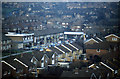
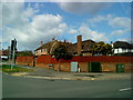
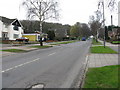
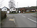
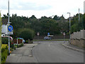
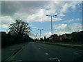
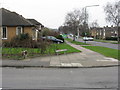
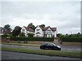
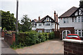
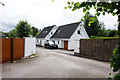
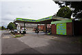
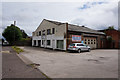
62 photos from this area
Area Information
Key information about the NG9 3AZ including its size, population, and administrative classification.
- Area Type
- Postcode
- Area Size
- 8152 m²
- Population
- 1536
- Population Density
- 3165 people/km²
House Prices in NG9 3AZ
12
Properties
£365,344
Average Sold Price
£217,500
Lowest Price
£685,000
Highest Price
Showing 12 properties
| Address | Type | Beds | Baths | Last Sale Price | Last Sale Date | |
|---|---|---|---|---|---|---|
| 221 Derby Road, Beeston, NG9 3AZ | Detached | 3 | 1 | £309,000 | Apr 2024 | |
| 215 Derby Road, Beeston, NG9 3AZ | Detached | 5 | 3 | £685,000 | Apr 2022 | |
| 235 Derby Road, Beeston, NG9 3AZ | Detached | 4 | 3 | £570,000 | Jan 2021 | |
| 219 Derby Road, Beeston, NG9 3AZ | Detached | 5 | 2 | £335,000 | Nov 2017 | |
| 217 Derby Road, Beeston, NG9 3AZ | Detached | 3 | 2 | £292,500 | Nov 2016 | |
| 237 Derby Road, Beeston, NG9 3AZ | Detached | 4 | 2 | £270,000 | Jun 2014 | |
| 229 Derby Road, Beeston, NG9 3AZ | house | - | - | £217,500 | Oct 2010 | |
| 233 Derby Road, Beeston, NG9 3AZ | Detached | 3 | 1 | £243,750 | Jul 2010 | |
| 231 Derby Road, Beeston, NG9 3AZ | Detached | 3 | 1 | - | - | |
| 225 Derby Road, Beeston, NG9 3AZ | Detached | - | - | - | - |
Page 1 of 2
Energy Efficiency in NG9 3AZ
Amenities
Schools
| Rank | School | Type | Entry gender | Ages |
|---|
Explore more schools in this area
Go to Schools tabDemographics
Household Size
Two person
most common
Accommodation Type
Houses
most common
Tenure
88
majority
Ethnic Group
White
most common
Religion
N/A
most common
Household Composition
N/A
most common
Age
47
median
Adults (30-64 years)
most common
Household Deprivation
N/A
with no deprivation
NS-SEC
55
in Lower managerial occupations
Explore more demographic insights in this area
Go to Demographics tabPlanning
Planning Constraints
- Flood RiskPremium
- Ramsar Wetland SitesPremium
- Area of Outstanding Natural BeautyPremium
- Protected Nature ReservePremium
- Protected WoodlandPremium