Area Overview for NG9 2PX
Photos of NG9 2PX
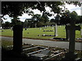
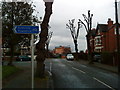
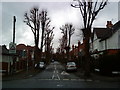

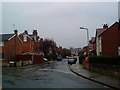
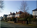
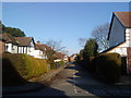
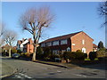
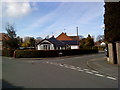
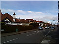
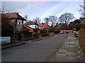
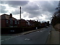
100 photos from this area
Area Information
Key information about the NG9 2PX including its size, population, and administrative classification.
- Area Type
- Postcode
- Area Size
- 1.5 hectares
- Population
- 1665
- Population Density
- 5989 people/km²
House Prices in NG9 2PX
40
Properties
£167,907
Average Sold Price
£46,000
Lowest Price
£370,000
Highest Price
Showing 40 properties
| Address | Type | Beds | Baths | Last Sale Price | Last Sale Date | |
|---|---|---|---|---|---|---|
| 74 Clifford Avenue, Beeston, NG9 2PX | Semi-detached | 2 | 1 | £170,000 | Aug 2024 | |
| 51 Clifford Avenue, Beeston, NG9 2PX | Terraced | 3 | 1 | £175,000 | Aug 2023 | |
| 80 Clifford Avenue, Beeston, NG9 2PX | Semi-detached | 3 | 1 | £246,000 | Dec 2022 | |
| 55 Clifford Avenue, Beeston, NG9 2PX | Terraced | 3 | 1 | £240,000 | Sep 2022 | |
| 53 Clifford Avenue, Beeston, NG9 2PX | Terraced | 3 | - | £210,000 | Jan 2022 | |
| 78 Clifford Avenue, Beeston, NG9 2PX | Terraced | 2 | 1 | £150,000 | Feb 2020 | |
| 72 Clifford Avenue, Beeston, NG9 2PX | Semi-detached | 3 | - | £161,000 | Feb 2019 | |
| 69 Clifford Avenue, Beeston, NG9 2PX | Bungalow | 3 | 1 | £275,000 | Jun 2018 | |
| 35 Clifford Avenue, Beeston, NG9 2PX | Terraced | 3 | 1 | £177,000 | Nov 2017 | |
| 39 Clifford Avenue, Beeston, NG9 2PX | Terraced | 3 | 1 | £155,000 | Dec 2016 |
Page 1 of 4
Energy Efficiency in NG9 2PX
Amenities
Schools
| Rank | School | Type | Entry gender | Ages |
|---|
Explore more schools in this area
Go to Schools tabDemographics
Household Size
Family (3-5 people)
most common
Accommodation Type
Houses
most common
Tenure
54
majority
Ethnic Group
White
most common
Religion
N/A
most common
Household Composition
N/A
most common
Age
47
median
Adults (30-64 years)
most common
Household Deprivation
N/A
with no deprivation
NS-SEC
32
in Lower managerial occupations
Explore more demographic insights in this area
Go to Demographics tabPlanning
Planning Constraints
- Flood RiskPremium
- Ramsar Wetland SitesPremium
- Area of Outstanding Natural BeautyPremium
- Protected Nature ReservePremium
- Protected WoodlandPremium