Area Overview for NG9 2GR
Photos of NG9 2GR

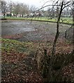
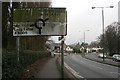
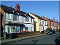
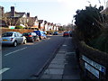
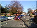
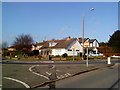
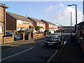
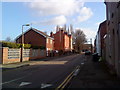
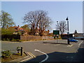
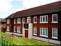
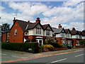
100 photos from this area
Area Information
Key information about the NG9 2GR including its size, population, and administrative classification.
- Area Type
- Postcode
- Area Size
- 2130 m²
- Population
- Not available
- Population Density
- Not available
House Prices in NG9 2GR
12
Properties
£113,877
Average Sold Price
£73,000
Lowest Price
£132,000
Highest Price
Showing 12 properties
| Address | Type | Beds | Baths | Last Sale Price | Last Sale Date | |
|---|---|---|---|---|---|---|
| 3 Serina Court, Beeston, NG9 2GR | Flat | 2 | - | £132,000 | Jul 2020 | |
| 11 Serina Court, Beeston, NG9 2GR | Flat | 2 | 1 | £118,000 | Feb 2020 | |
| 9 Serina Court, Beeston, NG9 2GR | Flat | - | - | £131,525 | Dec 2018 | |
| 2 Serina Court, Beeston, NG9 2GR | Flat | - | - | £73,000 | Jan 2014 | |
| 10 Serina Court, Beeston, NG9 2GR | Flat | 2 | 1 | £88,000 | May 2012 | |
| 5 Serina Court, Beeston, NG9 2GR | Flat | - | - | £92,000 | May 2011 | |
| 8 Serina Court, Beeston, NG9 2GR | Flat | - | - | £122,000 | Mar 2008 | |
| 12 Serina Court, Beeston, NG9 2GR | Flat | 2 | 1 | £122,000 | Mar 2008 | |
| 6 Serina Court, Beeston, NG9 2GR | Flat | - | - | £122,000 | Oct 2007 | |
| 4 Serina Court, Beeston, NG9 2GR | Flat | 2 | 1 | £122,000 | Oct 2007 |
Page 1 of 2
Energy Efficiency in NG9 2GR
Amenities
Schools
| Rank | School | Type | Entry gender | Ages |
|---|
Explore more schools in this area
Go to Schools tabDemographics
Household Size
One person
most common
Accommodation Type
Houses
most common
Tenure
40
majority
Ethnic Group
White
most common
Religion
N/A
most common
Household Composition
N/A
most common
Age
22
median
Young Adults (15-29 years)
most common
Household Deprivation
N/A
with no deprivation
NS-SEC
27
in Lower managerial occupations
Explore more demographic insights in this area
Go to Demographics tabPlanning
Planning Constraints
- Flood RiskPremium
- Ramsar Wetland SitesPremium
- Area of Outstanding Natural BeautyPremium
- Protected Nature ReservePremium
- Protected WoodlandPremium