Area Overview for NG9 2EL
Photos of NG9 2EL
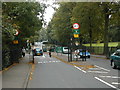
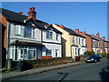
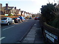
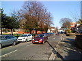
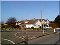
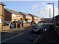
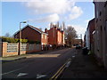
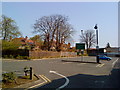
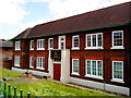
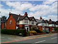
100 photos from this area
Area Information
Key information about the NG9 2EL including its size, population, and administrative classification.
- Area Type
- Postcode
- Area Size
- 1.7 hectares
- Population
- Not available
- Population Density
- Not available
House Prices in NG9 2EL
65
Properties
£171,963
Average Sold Price
£21,000
Lowest Price
£300,000
Highest Price
Showing 65 properties
| Address | Type | Beds | Baths | Last Sale Price | Last Sale Date | |
|---|---|---|---|---|---|---|
| 56 Fletcher Road, Beeston, NG9 2EL | Semi-detached | 3 | 1 | £235,000 | Jul 2025 | |
| 18 Fletcher Road, Beeston, NG9 2EL | Semi-detached | 3 | 1 | £272,500 | Mar 2025 | |
| 32 Fletcher Road, Beeston, NG9 2EL | Semi-detached | 2 | 1 | £200,000 | May 2024 | |
| 43 Fletcher Road, Beeston, NG9 2EL | Semi-detached | 6 | 4 | £300,000 | May 2022 | |
| 19 Fletcher Road, Beeston, NG9 2EL | Semi-detached | 1 | 1 | £255,000 | Jan 2022 | |
| 34 Fletcher Road, Beeston, NG9 2EL | house | 3 | - | £225,000 | Aug 2021 | |
| 62 Fletcher Road, Beeston, NG9 2EL | house | 3 | - | £220,000 | Jul 2021 | |
| 57 Fletcher Road, Beeston, NG9 2EL | house | - | - | £205,000 | Jun 2021 | |
| 53 Fletcher Road, Beeston, NG9 2EL | Semi-detached | 4 | - | £200,000 | May 2021 | |
| 59 Fletcher Road, Beeston, NG9 2EL | house | 1 | 1 | £200,000 | Apr 2021 |
Page 1 of 7
Energy Efficiency in NG9 2EL
Amenities
Schools
| Rank | School | Type | Entry gender | Ages |
|---|
Explore more schools in this area
Go to Schools tabDemographics
Household Size
One person
most common
Accommodation Type
Houses
most common
Tenure
40
majority
Ethnic Group
White
most common
Religion
N/A
most common
Household Composition
N/A
most common
Age
22
median
Young Adults (15-29 years)
most common
Household Deprivation
N/A
with no deprivation
NS-SEC
27
in Lower managerial occupations
Explore more demographic insights in this area
Go to Demographics tabPlanning
Planning Constraints
- Flood RiskPremium
- Ramsar Wetland SitesPremium
- Area of Outstanding Natural BeautyPremium
- Protected Nature ReservePremium
- Protected WoodlandPremium