Area Overview for NG9 2AY
Photos of NG9 2AY
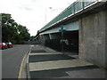

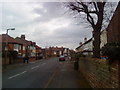
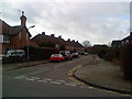
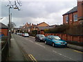
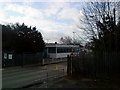
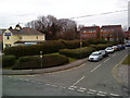
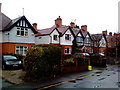
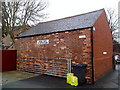
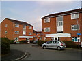
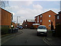
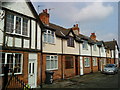
100 photos from this area
Area Information
Key information about the NG9 2AY including its size, population, and administrative classification.
- Area Type
- Postcode
- Area Size
- 9223 m²
- Population
- 1641
- Population Density
- 5861 people/km²
House Prices in NG9 2AY
33
Properties
£186,804
Average Sold Price
£52,500
Lowest Price
£270,000
Highest Price
Showing 33 properties
| Address | Type | Beds | Baths | Last Sale Price | Last Sale Date | |
|---|---|---|---|---|---|---|
| 170 Station Road, Beeston, NG9 2AY | Semi-detached | 1 | 1 | £265,000 | Aug 2024 | |
| 168 Station Road, Beeston, NG9 2AY | Semi-detached | 3 | 1 | £265,250 | Jul 2023 | |
| 196 Station Road, Beeston, NG9 2AY | house | - | - | £192,500 | Feb 2022 | |
| 162 Station Road, Beeston, NG9 2AY | Semi-detached | 3 | - | £220,000 | Oct 2020 | |
| 172 Station Road, Beeston, NG9 2AY | Semi-detached | 4 | - | £230,000 | Aug 2020 | |
| 174 Station Road, Beeston, NG9 2AY | Detached | - | - | £249,000 | Jan 2019 | |
| 160 Station Road, Beeston, NG9 2AY | Semi-detached | 4 | 1 | £180,000 | Nov 2018 | |
| 156 Station Road, Beeston, NG9 2AY | Detached | 4 | 2 | £189,000 | May 2017 | |
| 142 Station Road, Beeston, NG9 2AY | Semi-detached | 4 | 1 | £175,000 | Sep 2008 | |
| 154 Station Road, Beeston, NG9 2AY | Flat | - | 1 | £270,000 | Nov 2006 |
Page 1 of 4
Energy Efficiency in NG9 2AY
Amenities
Schools
| Rank | School | Type | Entry gender | Ages |
|---|
Explore more schools in this area
Go to Schools tabDemographics
Household Size
One person
most common
Accommodation Type
Houses
most common
Tenure
40
majority
Ethnic Group
White
most common
Religion
N/A
most common
Household Composition
N/A
most common
Age
47
median
Adults (30-64 years)
most common
Household Deprivation
N/A
with no deprivation
NS-SEC
31
in Lower managerial occupations
Explore more demographic insights in this area
Go to Demographics tabPlanning
Planning Constraints
- Flood RiskPremium
- Ramsar Wetland SitesPremium
- Area of Outstanding Natural BeautyPremium
- Protected Nature ReservePremium
- Protected WoodlandPremium